Wildflower hikes
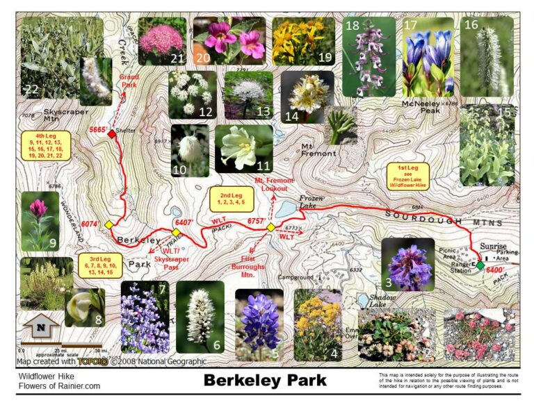
Berkeley Park
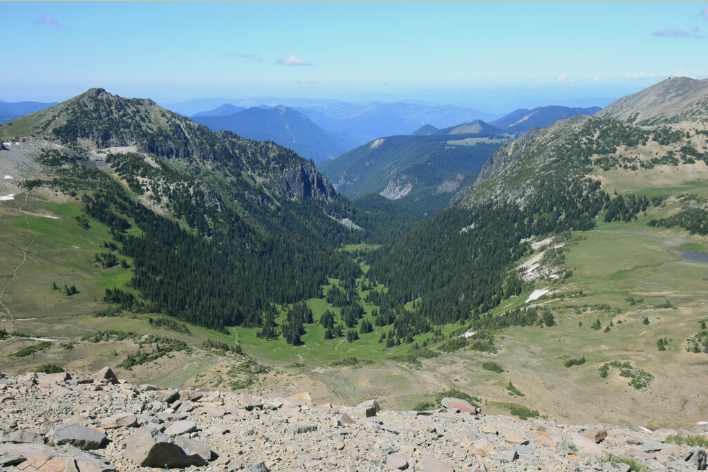
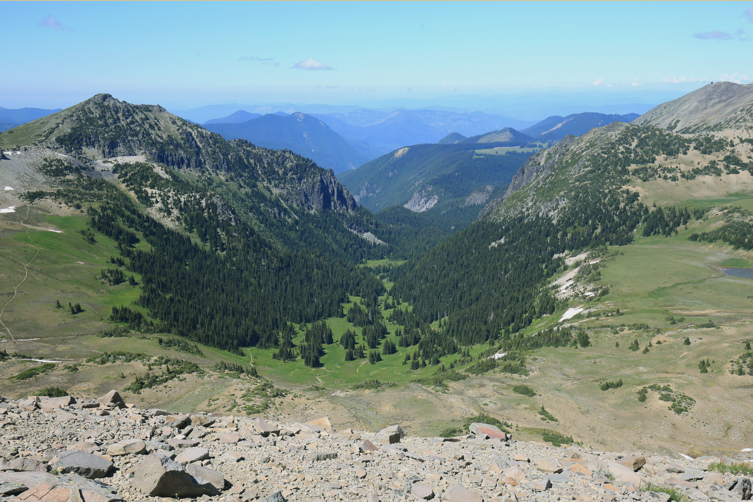
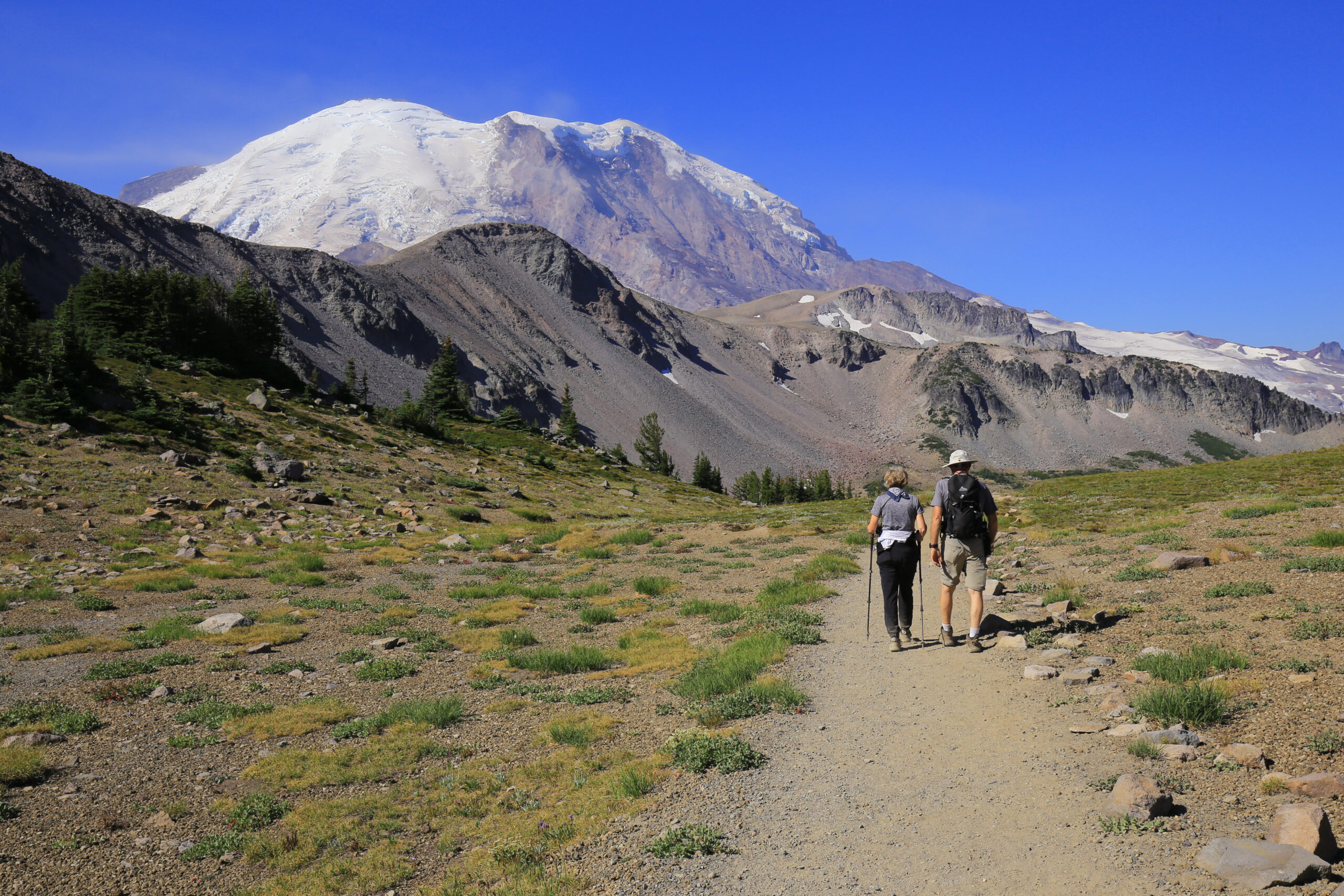
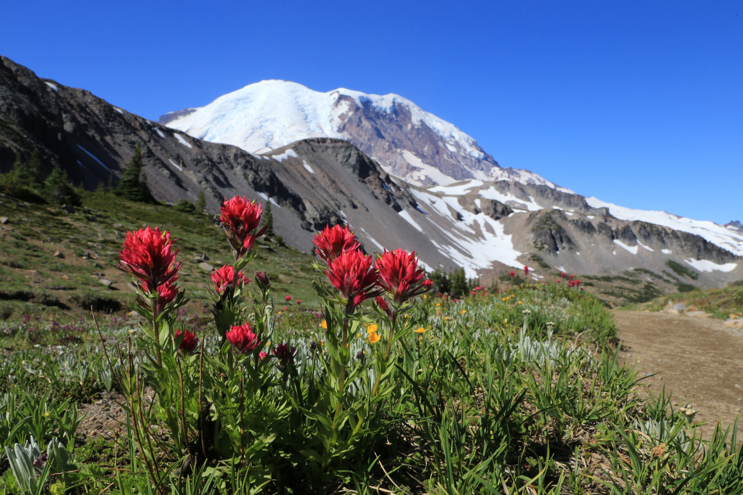
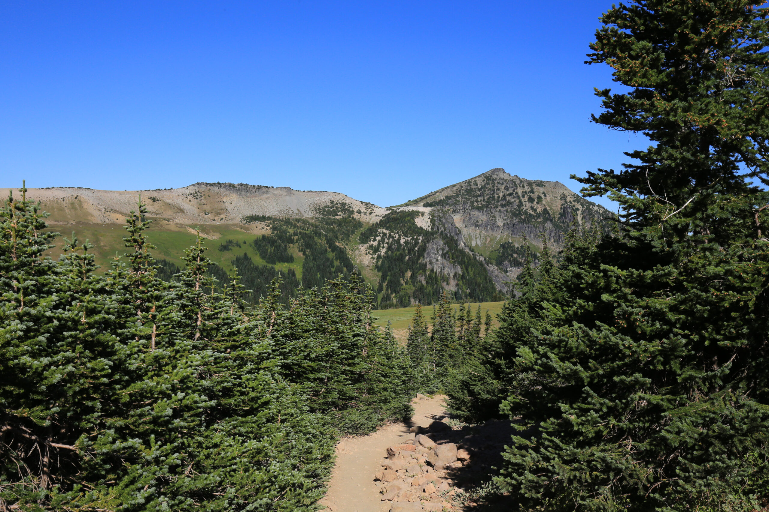
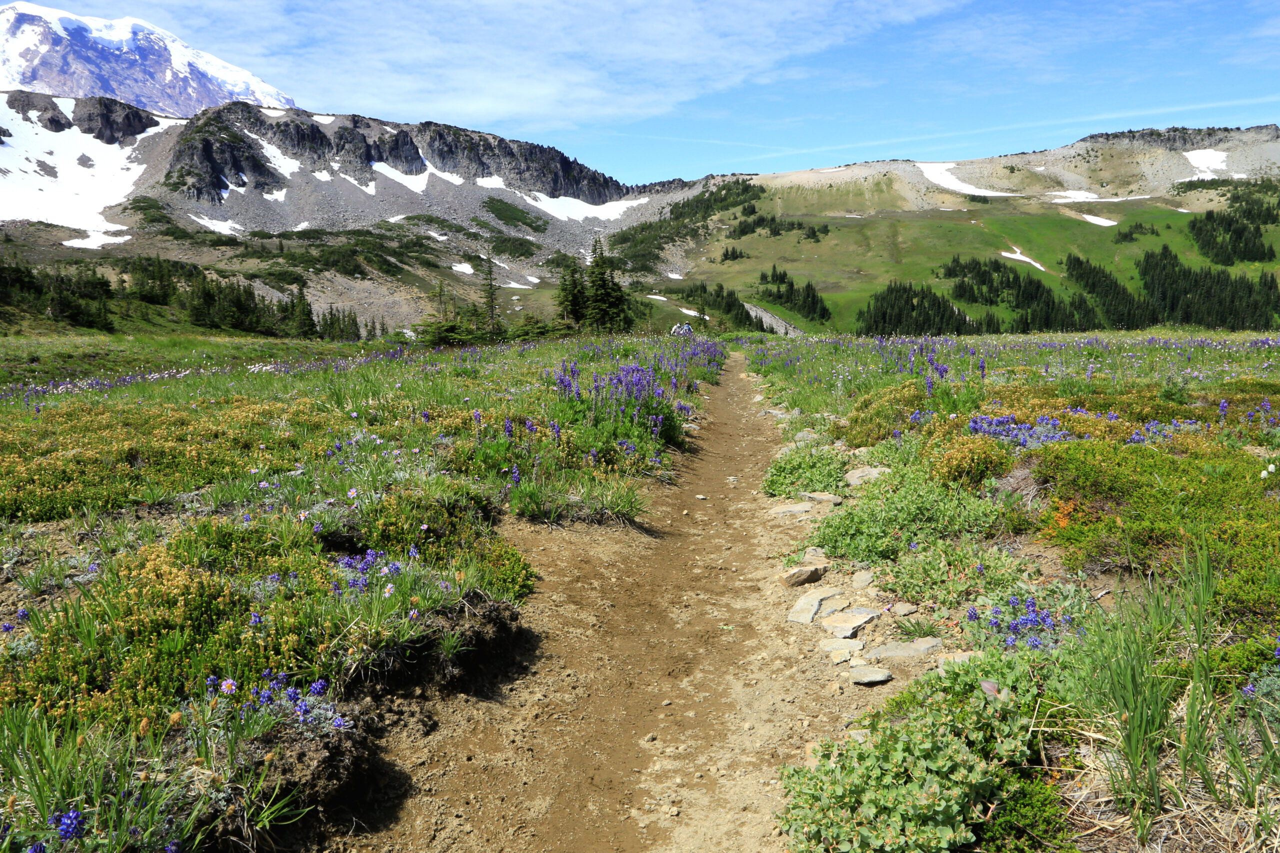
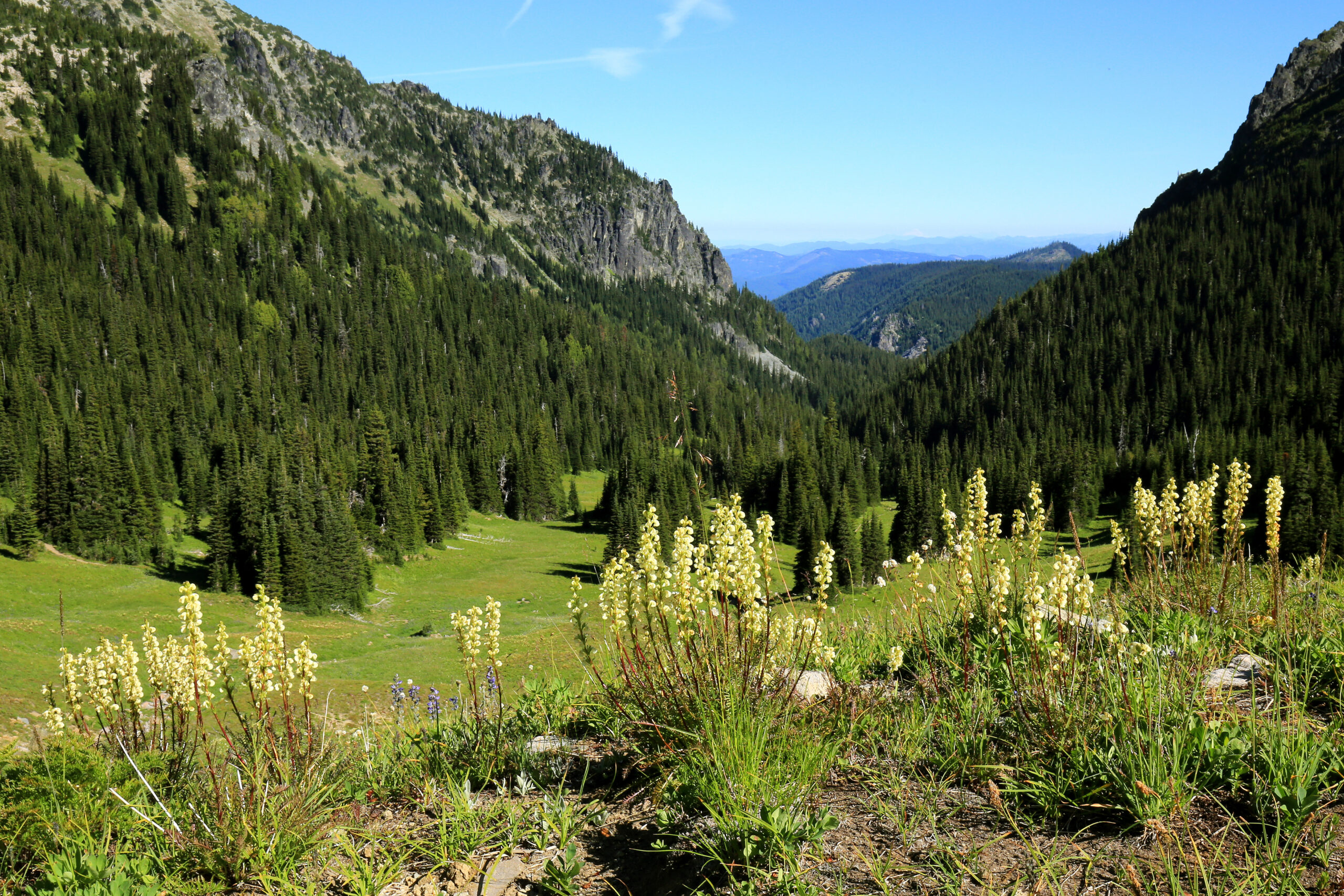
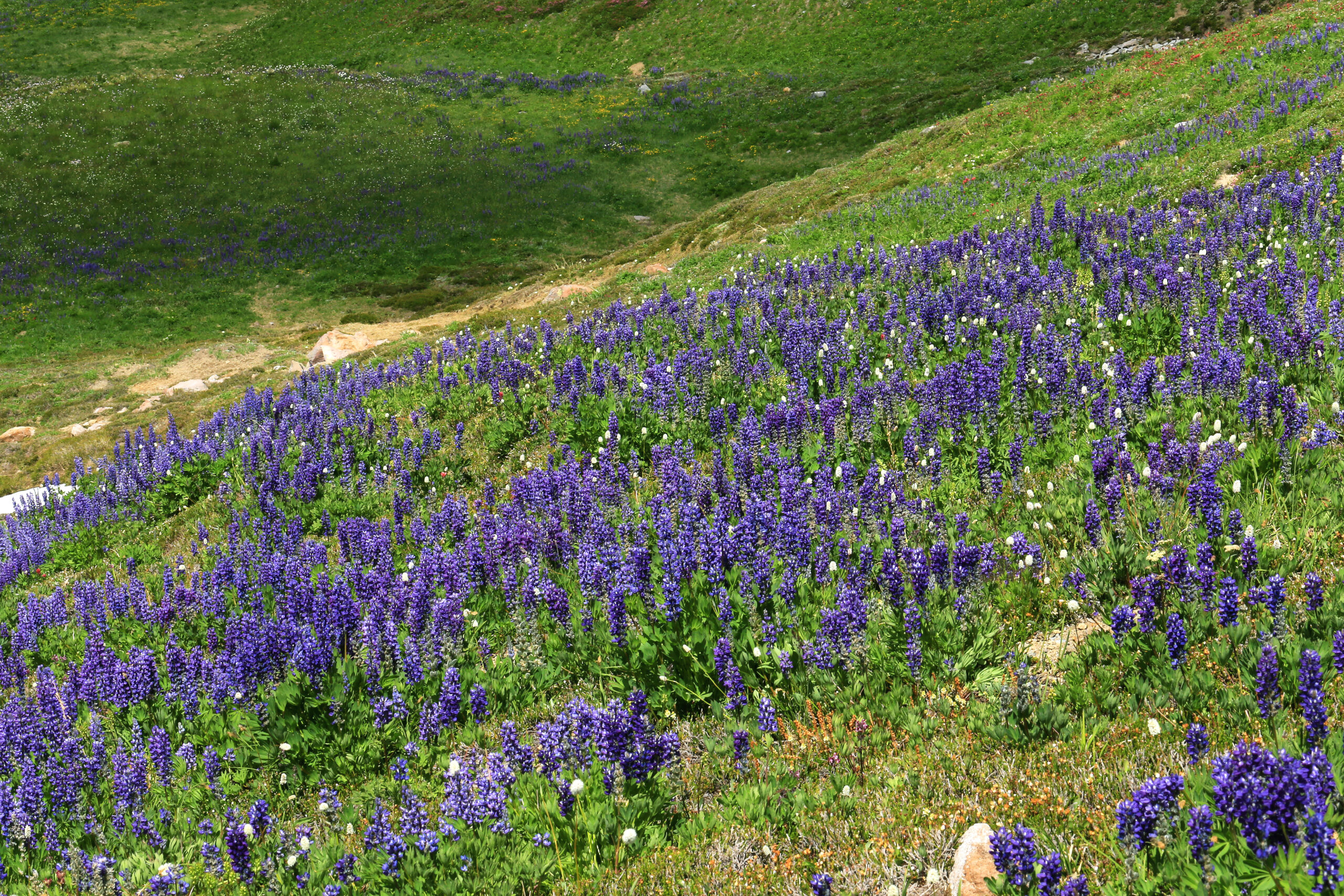
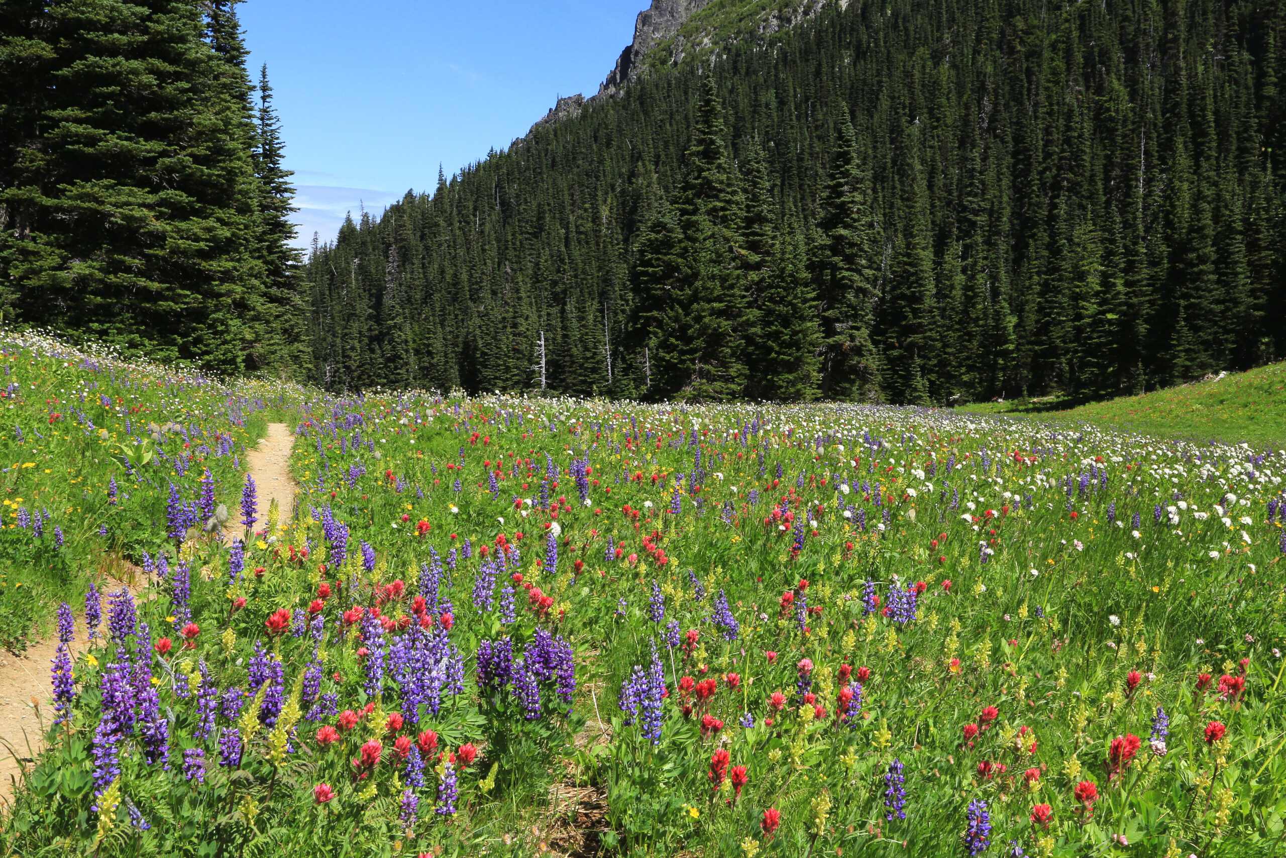
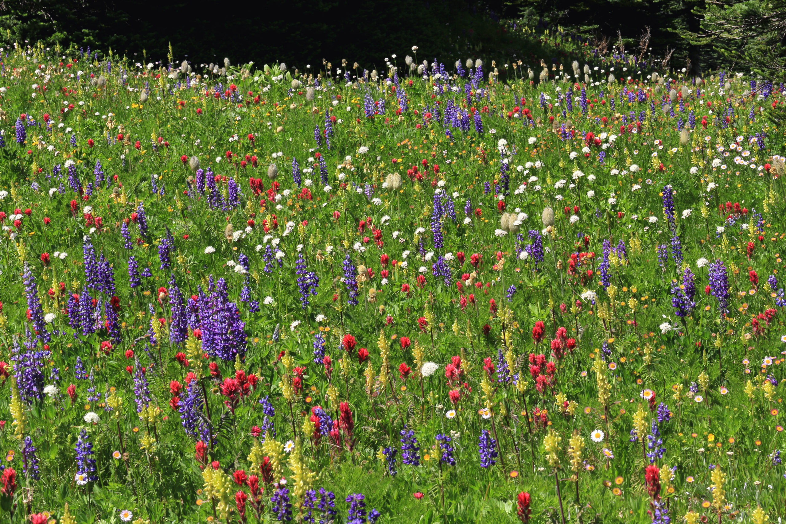
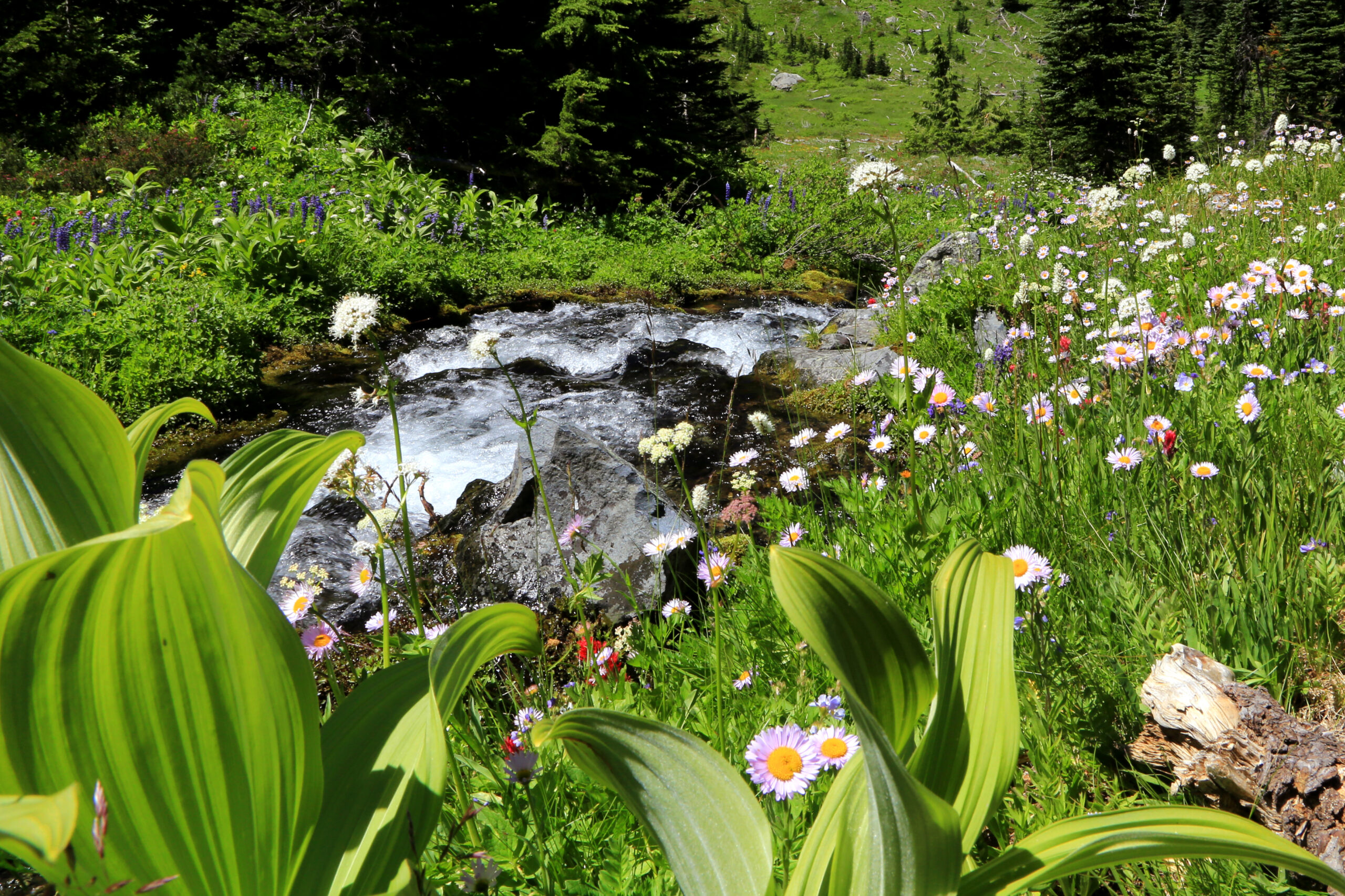
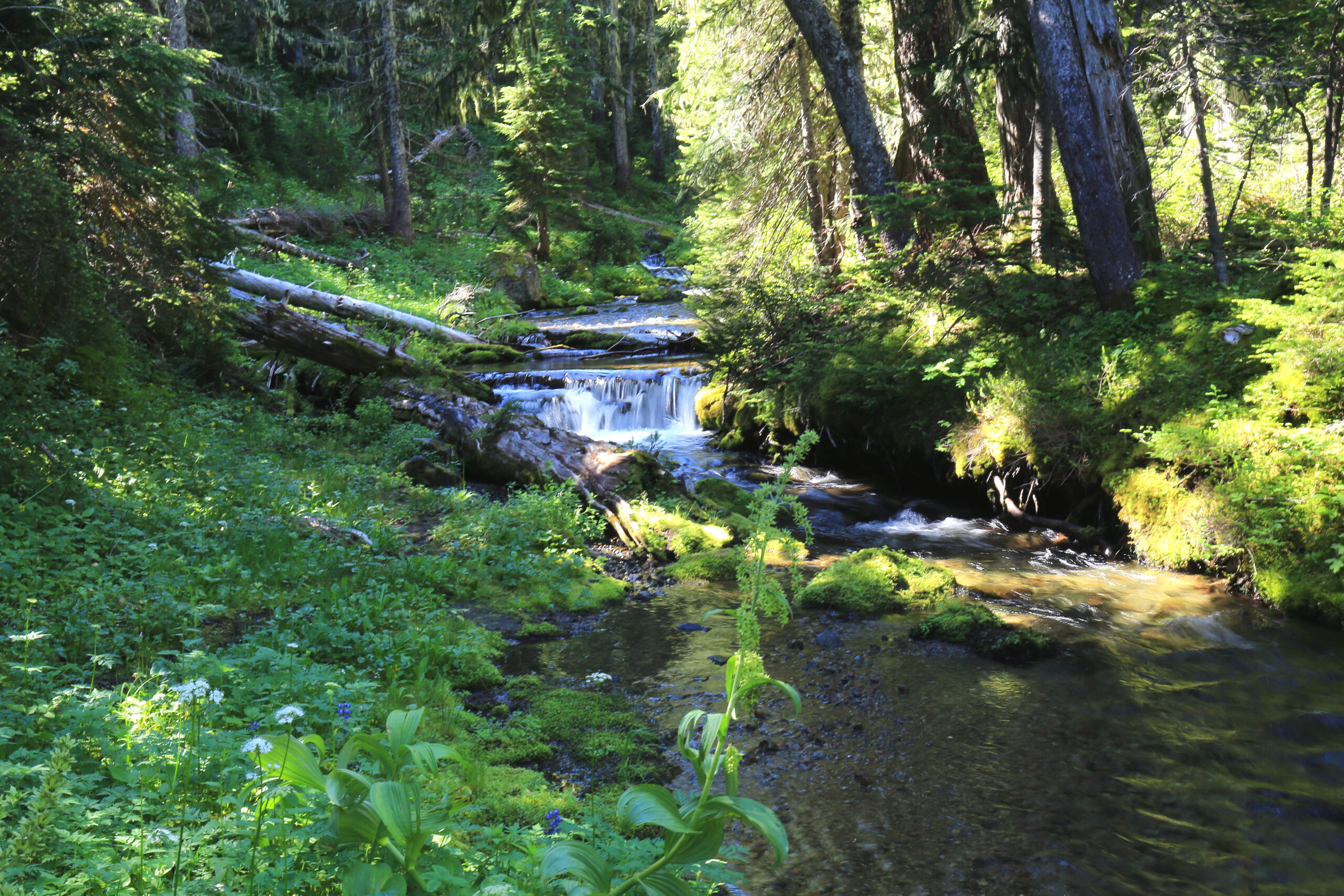
The valley between Skyscraper Mtn. and Mt. Fremont is one of the true floristic surprises in the park. This remarkably lush park is more like the meadows of Paradise than those of Sunrise. Beginning at Sunrise, the primary visitor center on the north side of the park, the hike is approximately 6.9 miles RT with over 1,800’ of net elevation gain (1,200’ on the return trip).
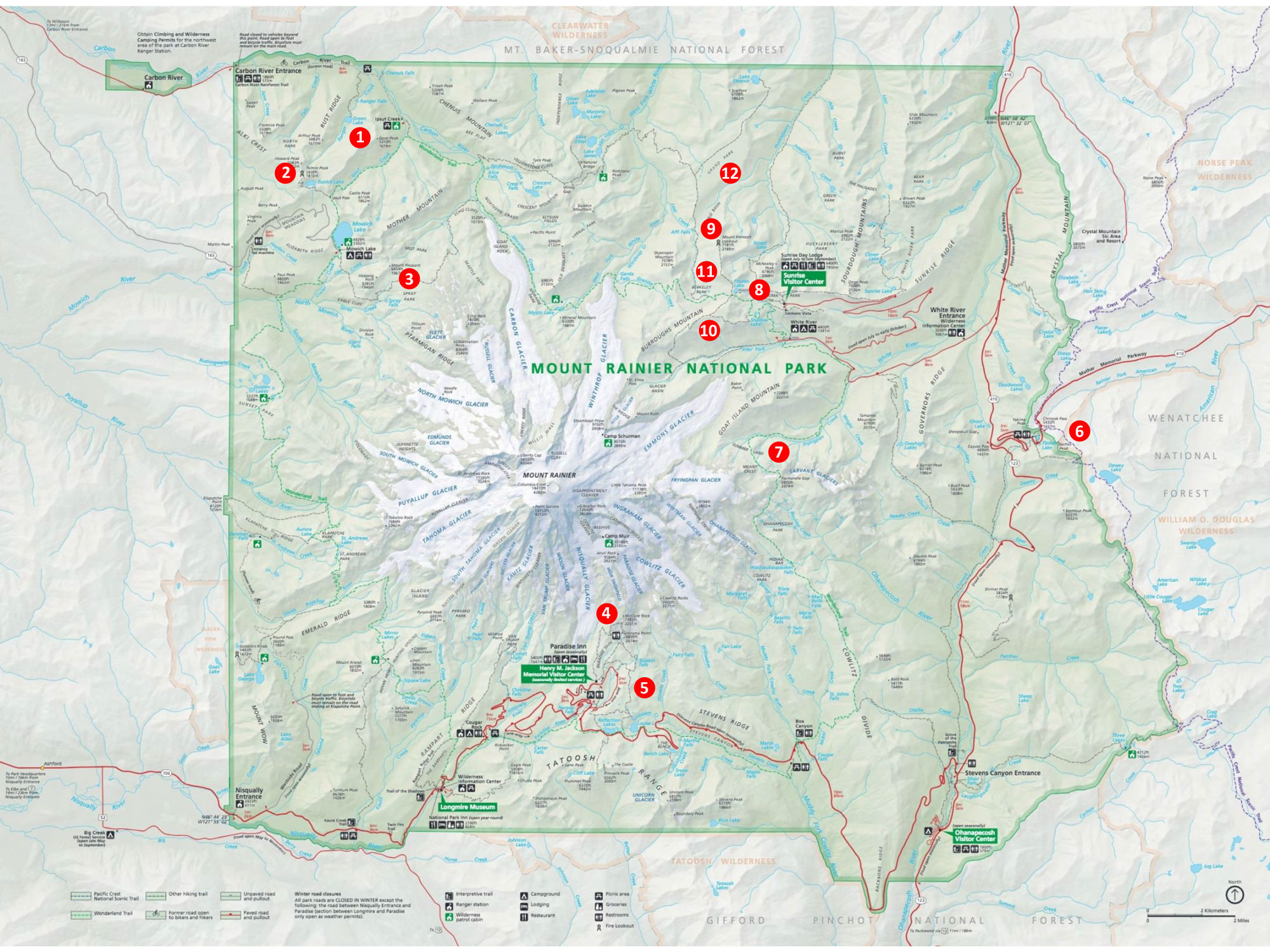
Starting point: Sunrise
Area map number: 13
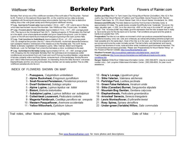
The trailhead is found on the north side of the Sunrise parking area, approximately 15.5 miles from the White River entrance off of SR 410. Seasonal closure of Sunrise Road is at the White River campground entrance, approximately 5.5 miles from SR 410. Often it is not open until July. The parking lot is large but overflows are common and occasionally they will close it. Try to avoid weekends. Arrive early when the lot is nearly empty and then return from your hike in the afternoon and wonder “where did everyone come from!”
As always, check conditions before setting out!
Get more important wildflower hiking information
Read about being prepared for Mount Rainier Hiking
Slideshow
Click on the first image to begin the slideshow.
Share this hike:
Facebook
LinkedIn
Pinterest
X
Email