The SR165 Carbon River/Fairfax Bridge is permanently closed. As a result there is currently no access for day hikers for the following hikes: Green Lake (1), Tolmie Peak (2) and Spray Park (3). Consult the park service and Washington Dept. of Transportation websites for future status. Expect no access for the 2025 season. The closure will continue for many years! See Carbon River and Mowich – Mount Rainier National Park (U.S. National Park Service)
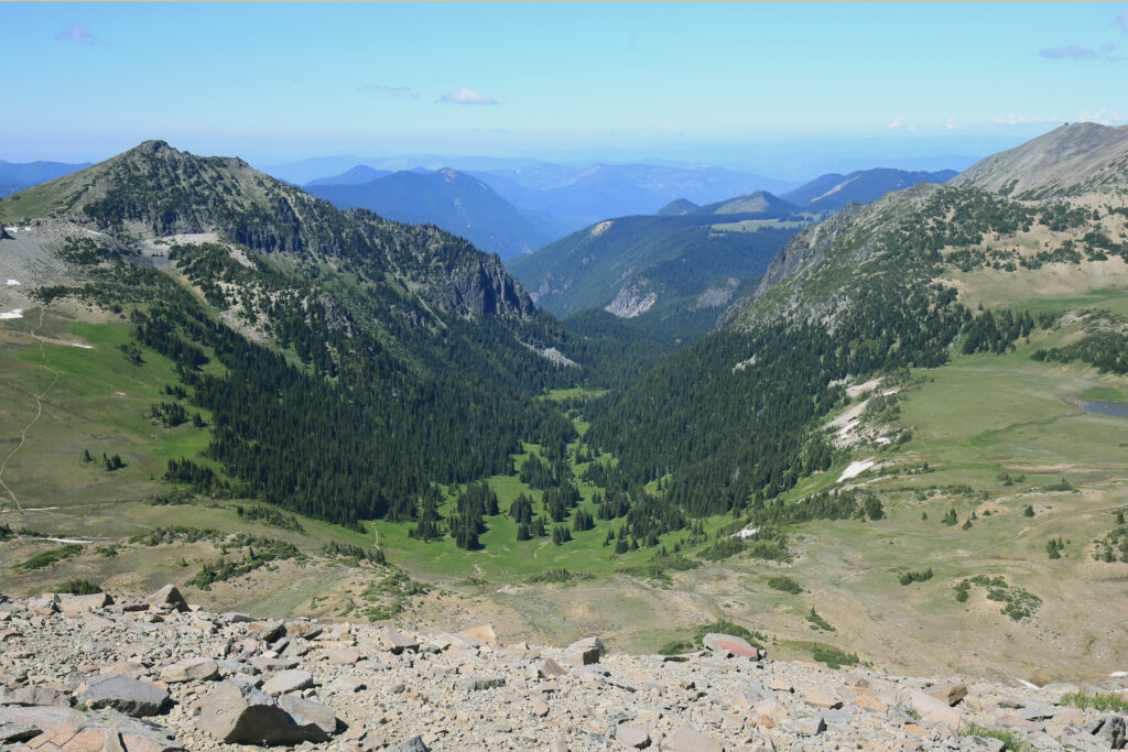
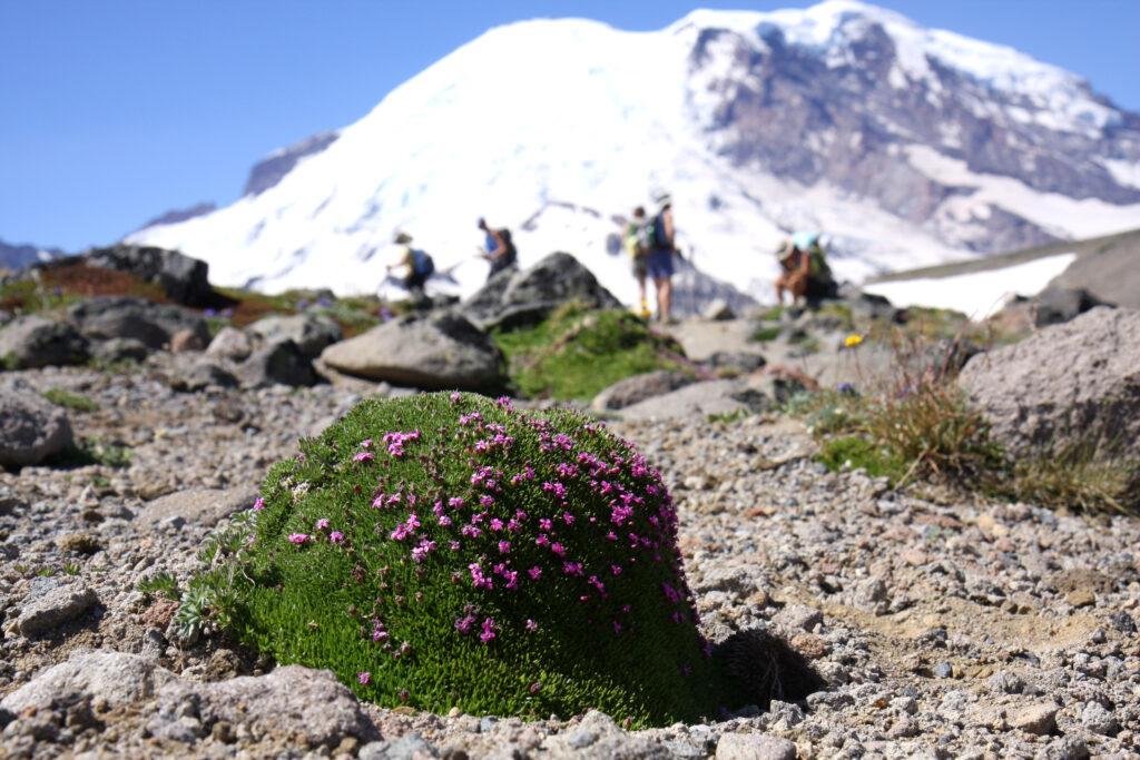
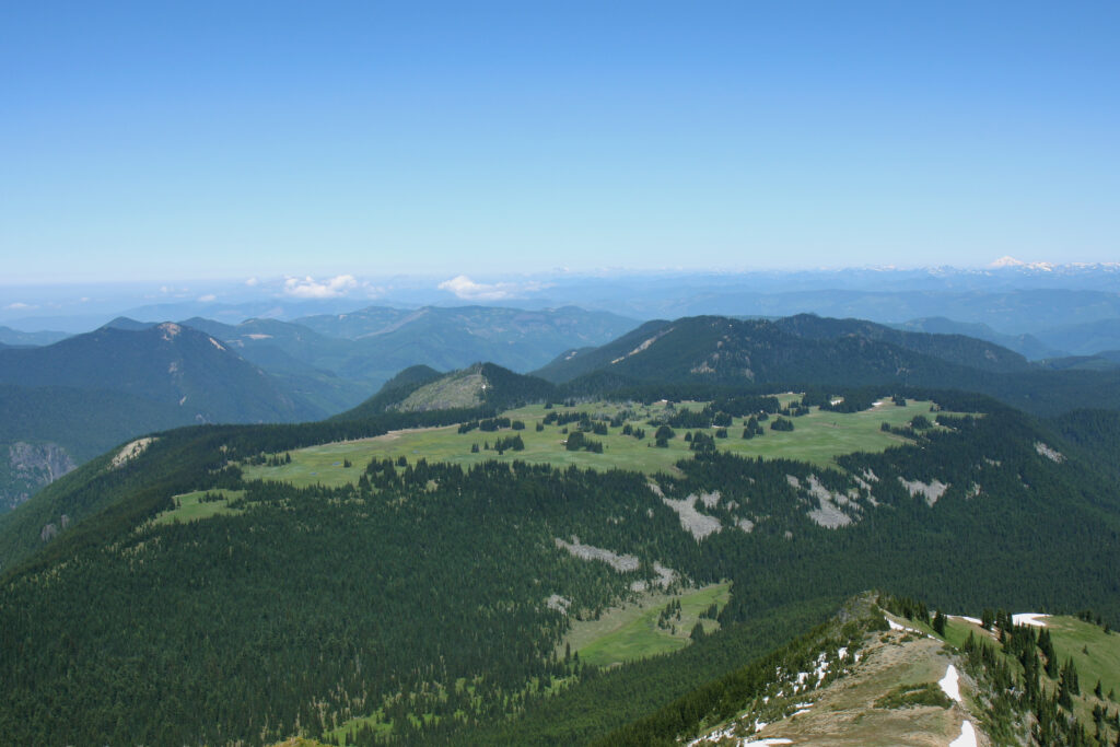
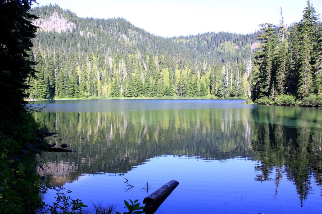
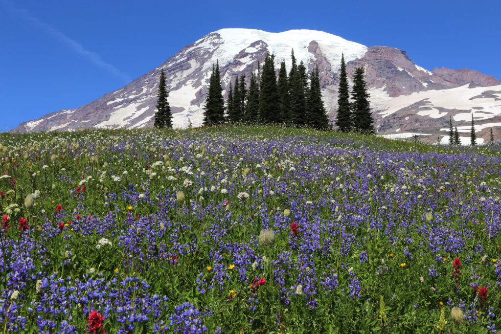
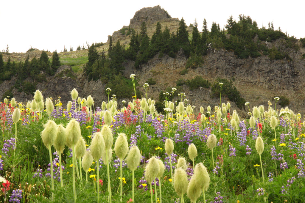
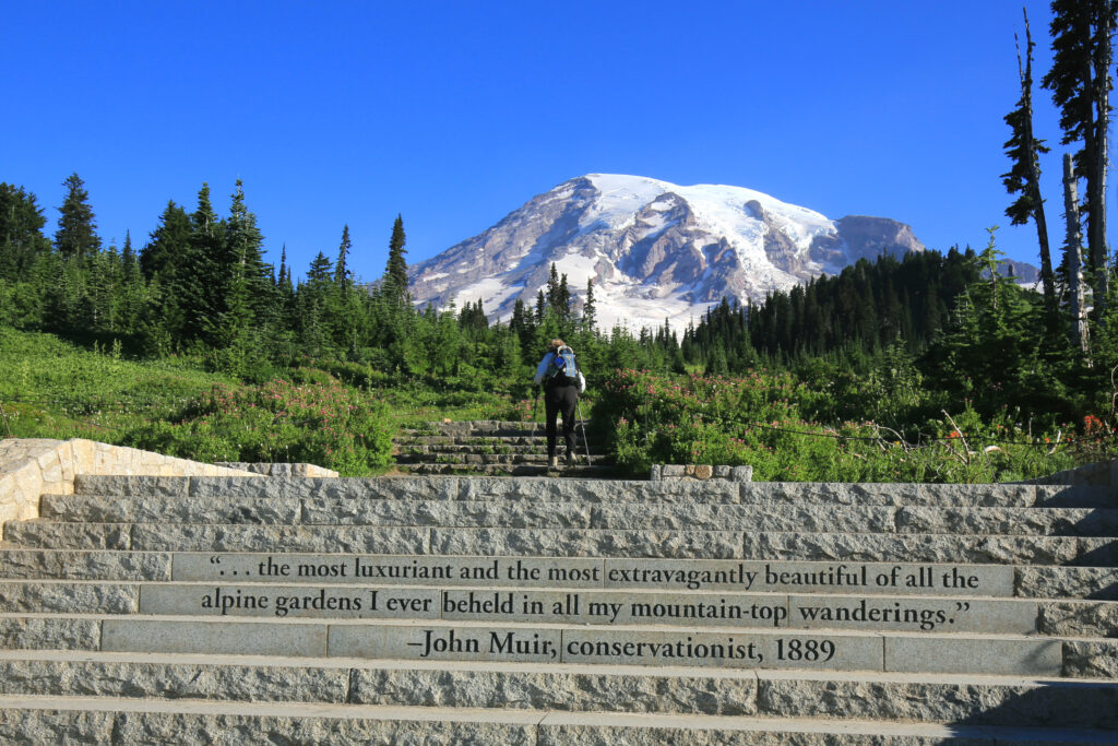
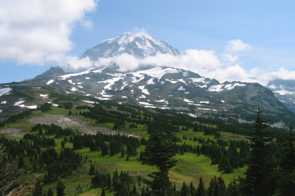
There are 246 miles of maintained trails and many miles of unmaintained ‘boot paths’ in Mount Rainier National Park. These trails offer exceptional opportunities to experience wildflowers for the day hiker, the primary audience of this site.
Wildflower Hiking Maps
Below are thirteen wildflower hikes. Each have a printable PDF map and guide/flower index for wildflower viewing opportunities.