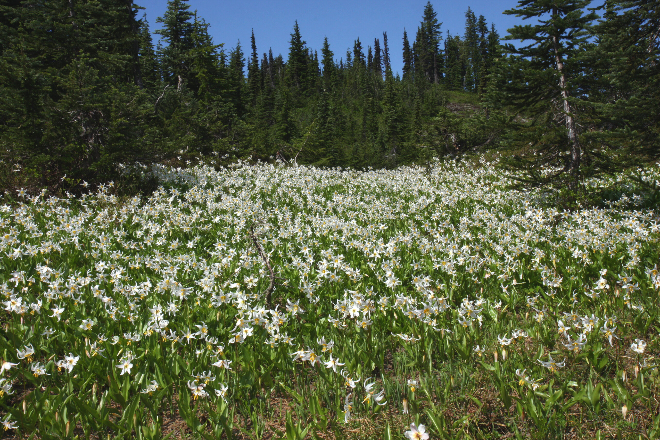
Wildflower hikes
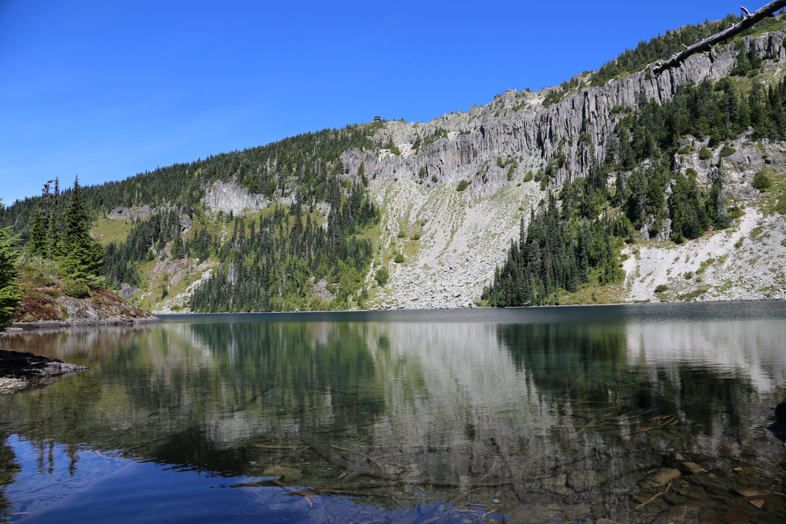
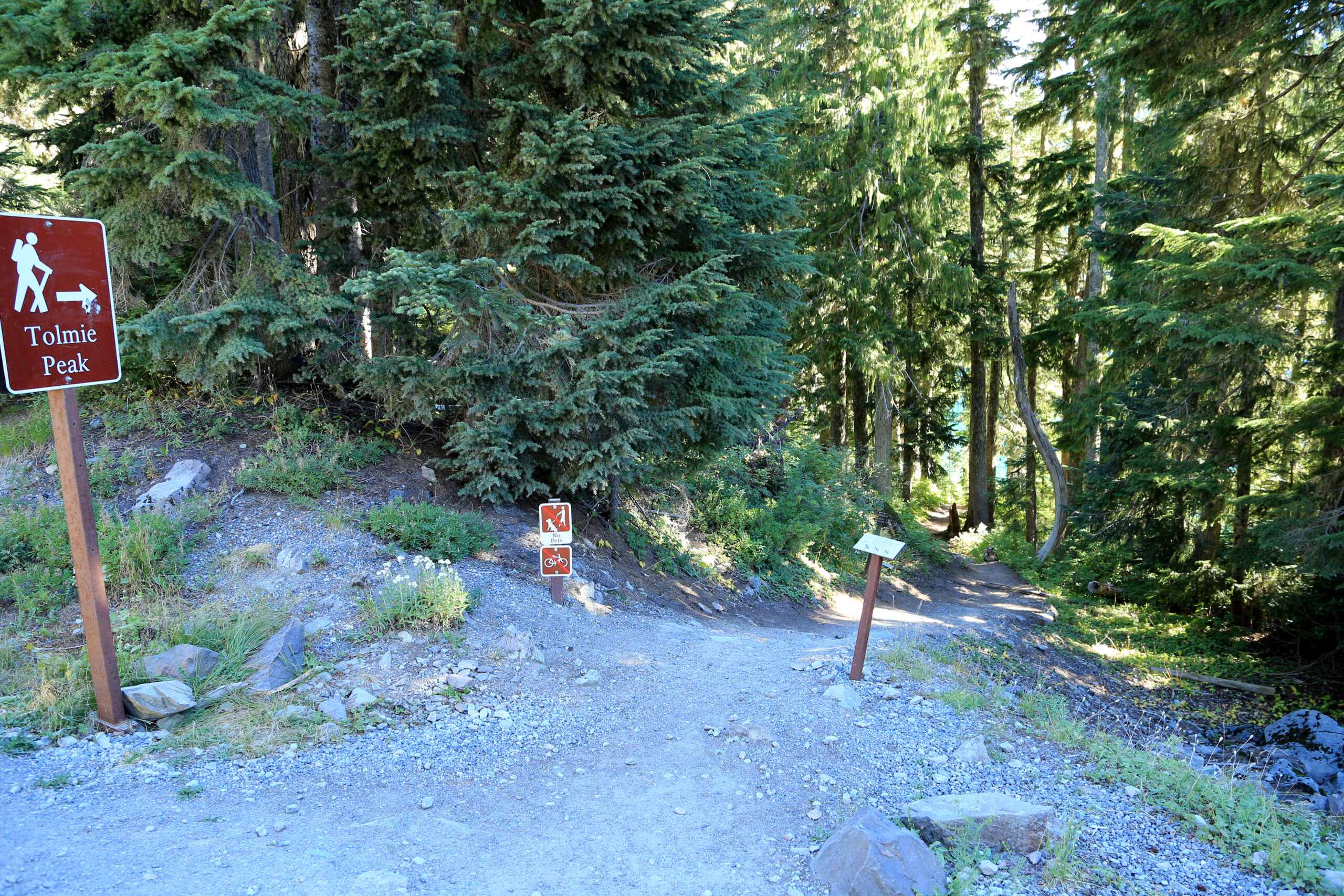
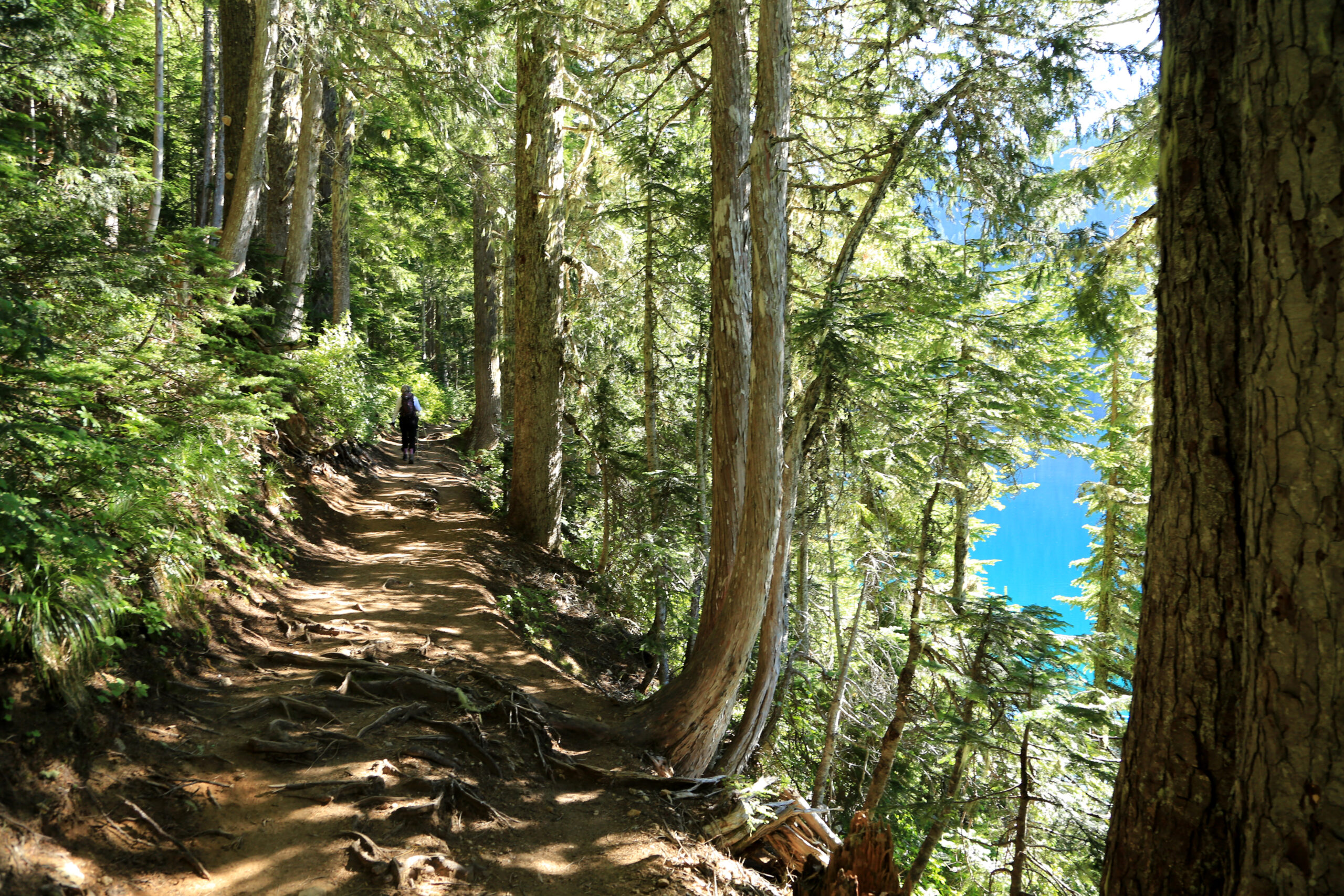
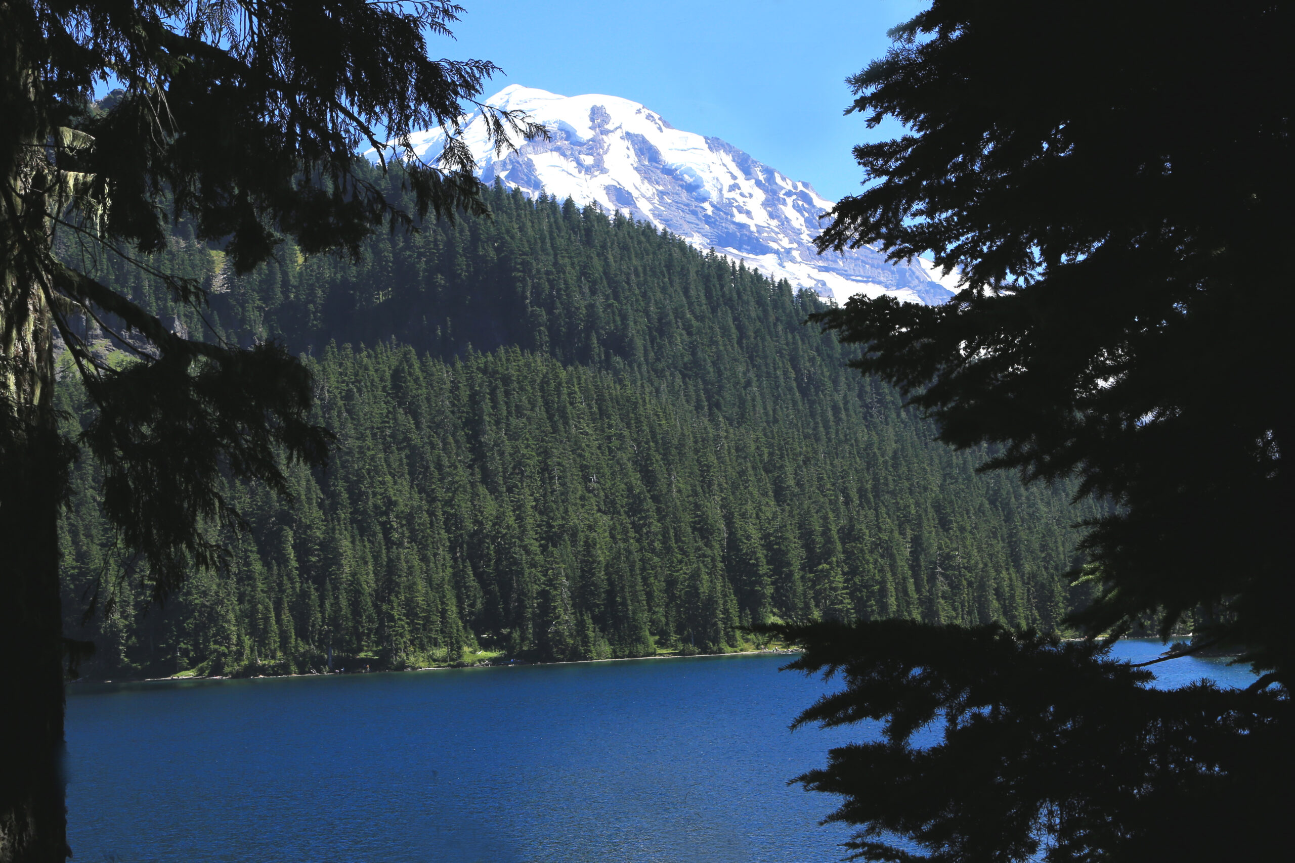
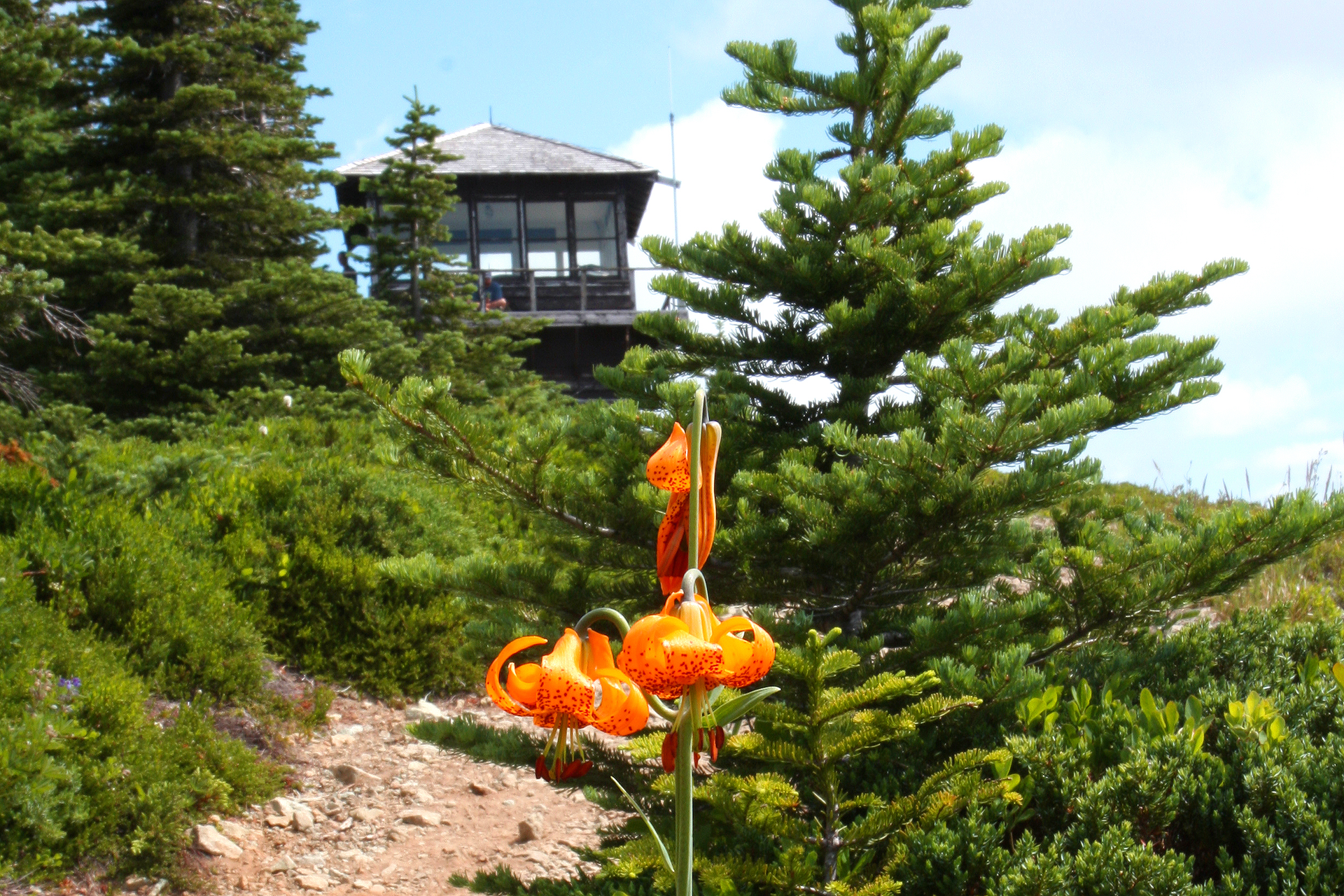
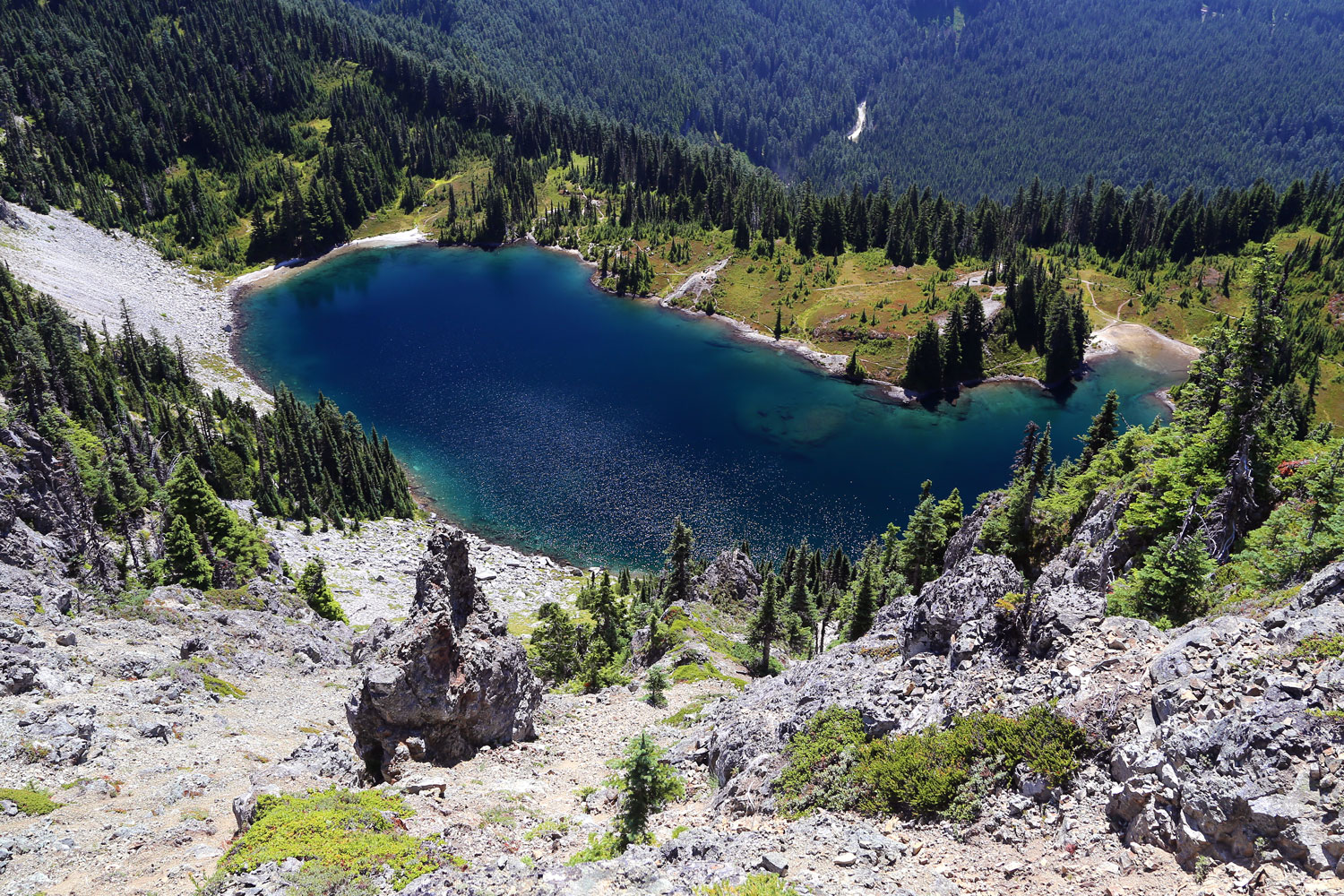
Tolmie Peak Lookout

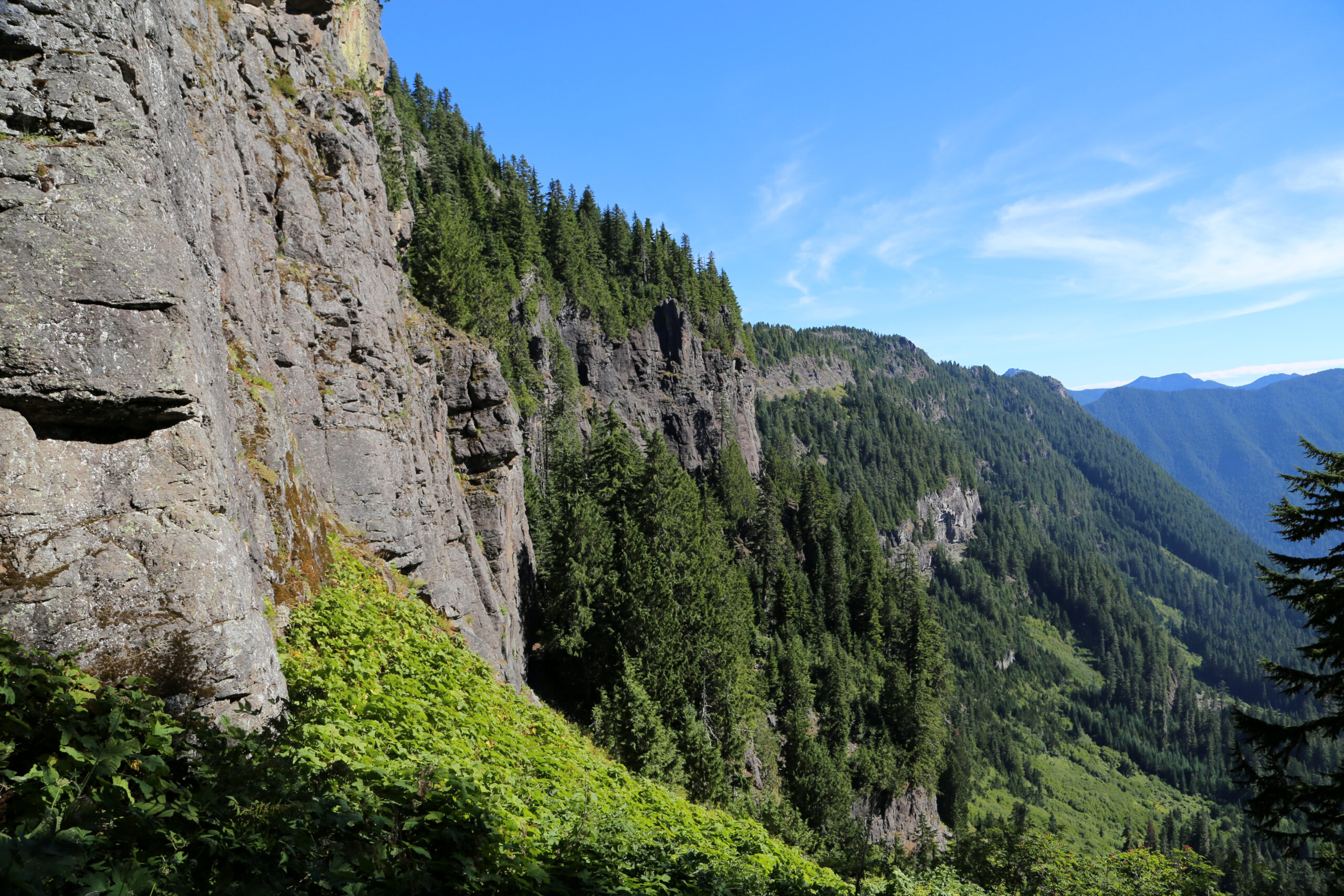
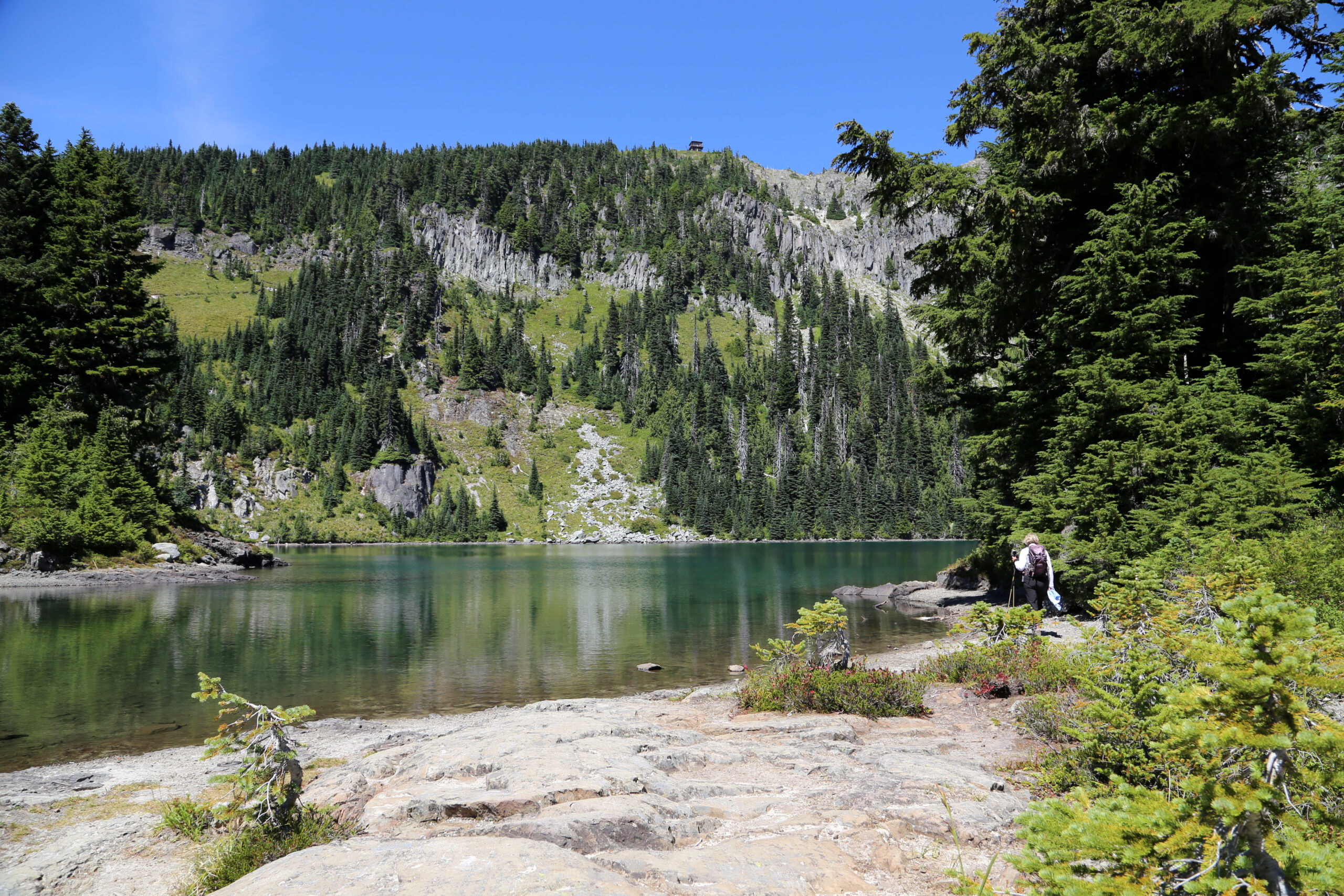
Named after Dr. William Tolmie of the Hudson Bay Company who supposedly ascended this peak (now it’s believed he actually climbed Hessong Rock further to the south). One of four remaining fire lookouts in the park with spectacular views all around! Total distance round trip is about five miles along an up and down route with net elevation round trip of over 1,600′.
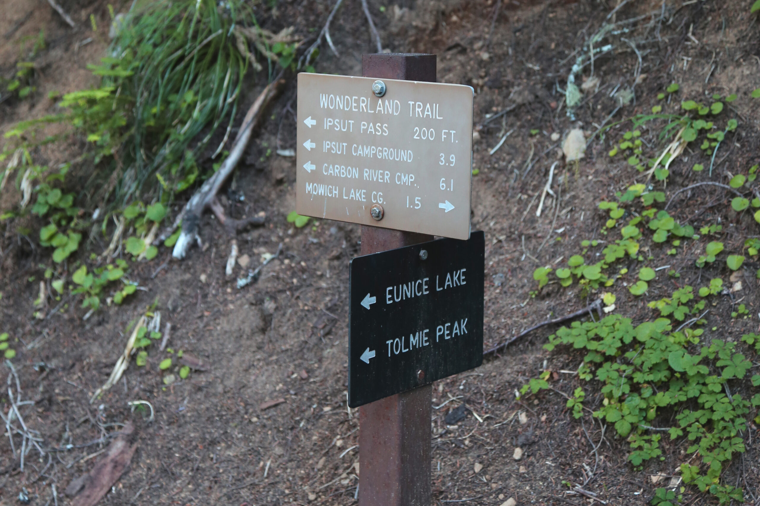
Starting point: Mowich Lake
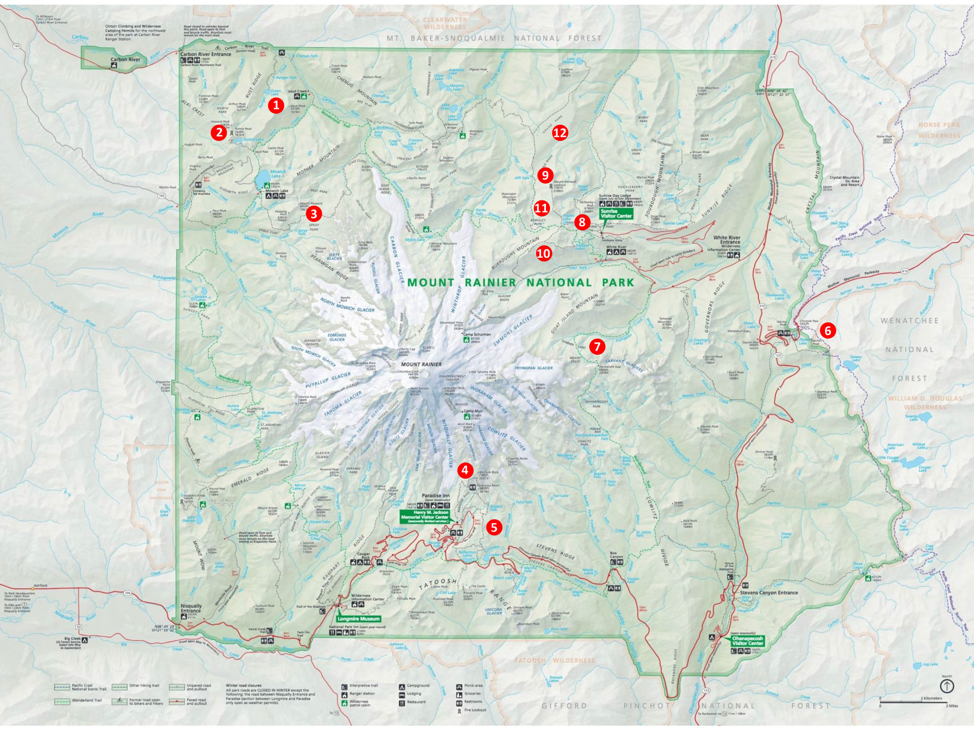
Area map number: 2
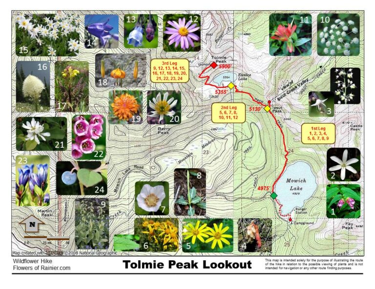
Important! There is no longer any vehicular access to the trailhead due to the permanent closure of the SR165/Fairfax Bridge (see https://www.nps.gov/mora/planyourvisit/carbon-river-and-mowich.htm). Access is only available via the Wonderland Trail. Old note: Every year thousands of visitors endure the 17 mile potholed, gravel washboard Mowich Lake Road; many just to see the largest lake in the park. The road begins after crossing the one lane bridge over the Carbon River (approximately 9 miles from Wilkeson on SR 165). The trailhead is on the east side of the road just after the last turn heading south, about .40 miles north of the campground and toilets. This area of the park receives heavy snowfall and often the road does not open until very late in the season. Don’t be disappointed and . . .
As always, check conditions before setting out.
Get more important wildflower hiking information
Read about being prepared for Mount Rainier Hiking
Slideshow
Click on the first image to begin the slideshow.
Share this hike:
Facebook
LinkedIn
Pinterest
X
Email