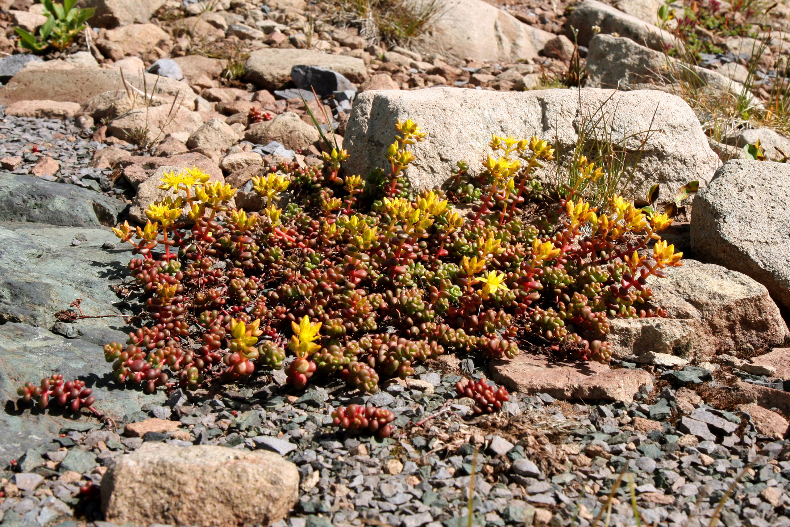
Wildflower hikes
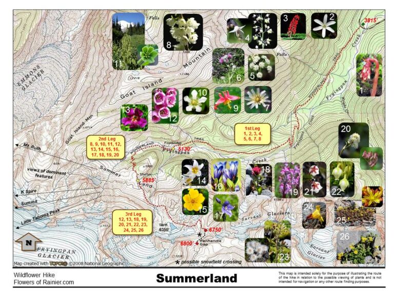
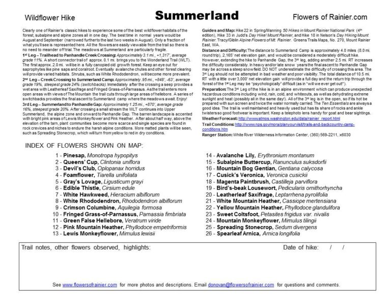
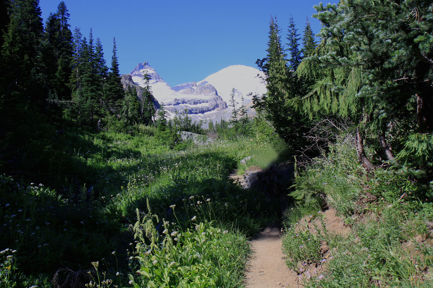
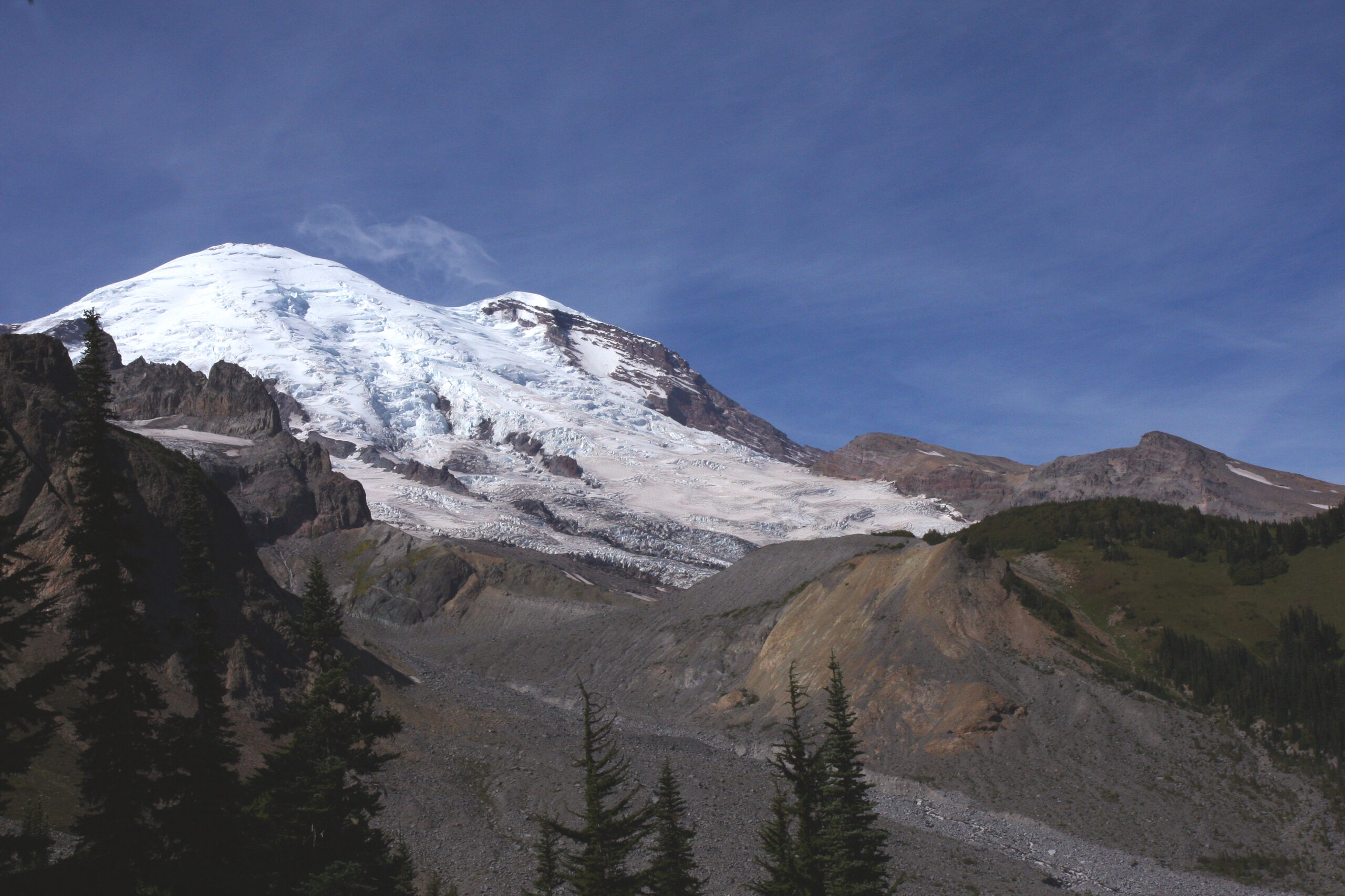
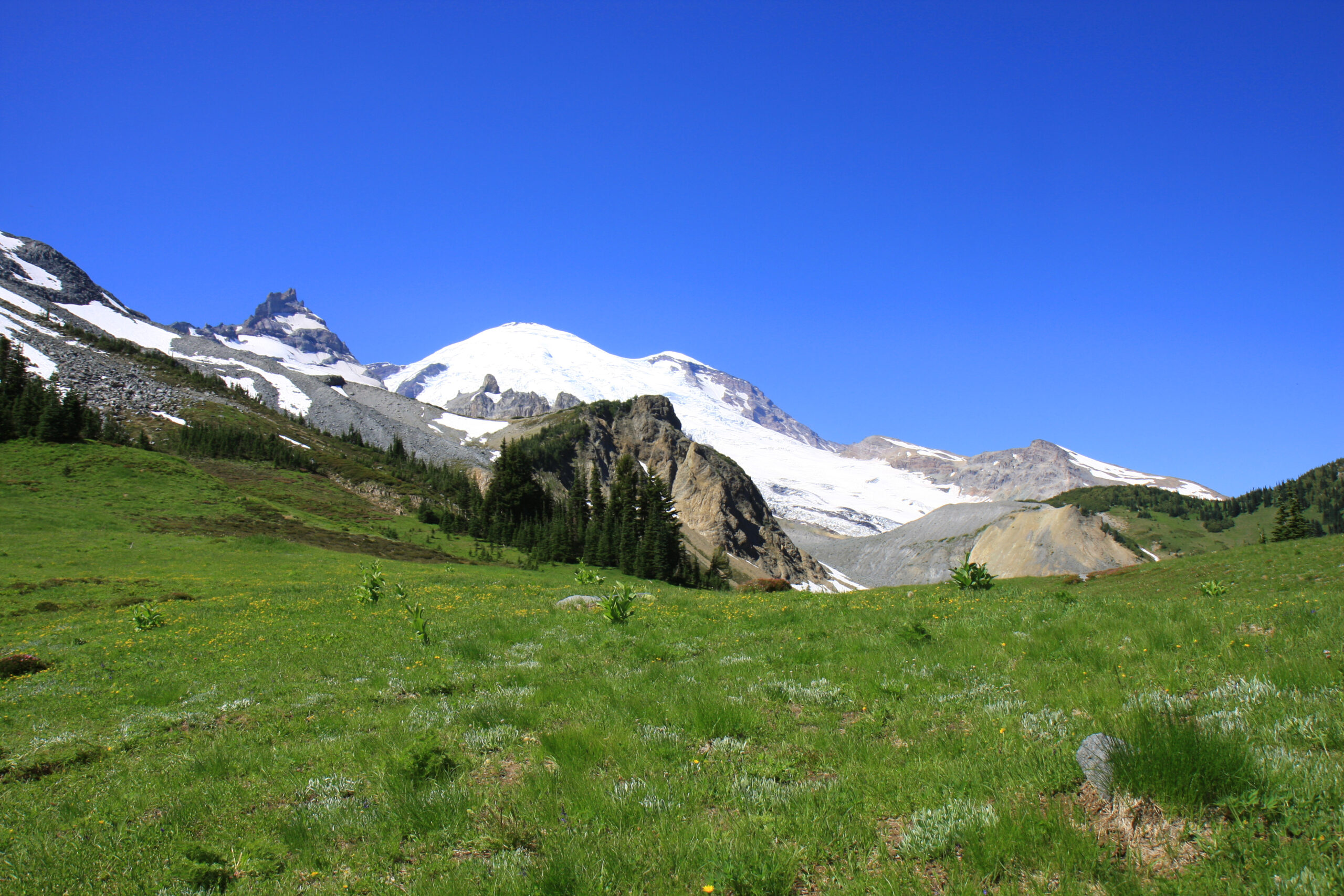
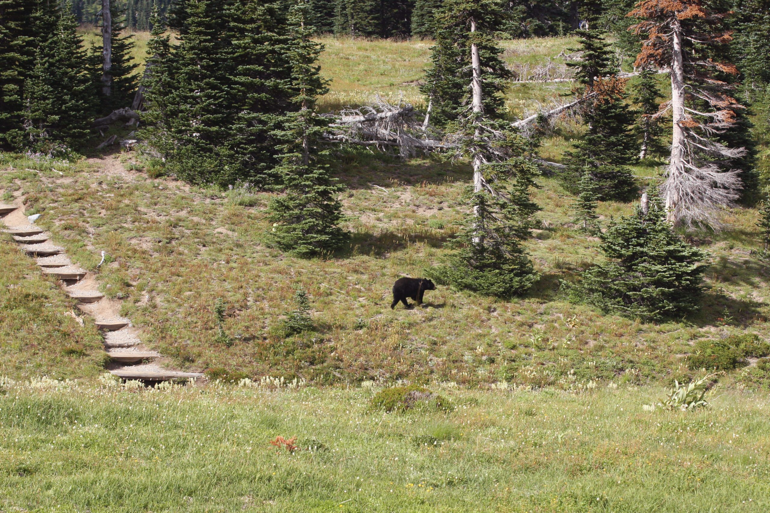
Summerland – Panhandle Gap

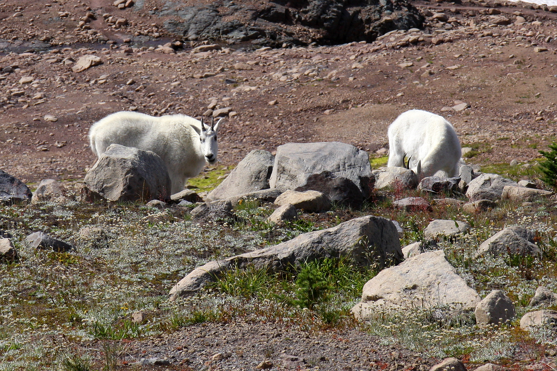
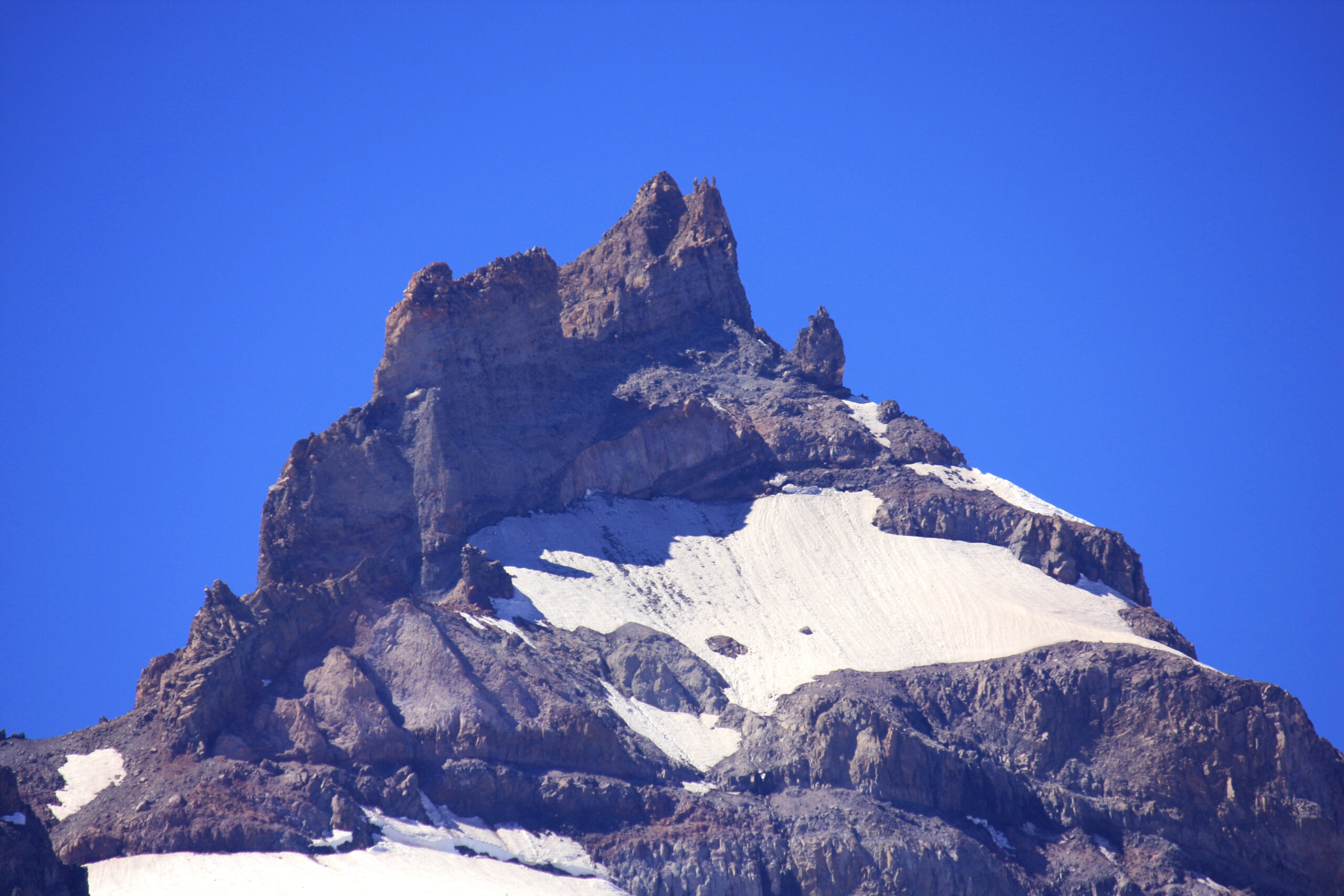
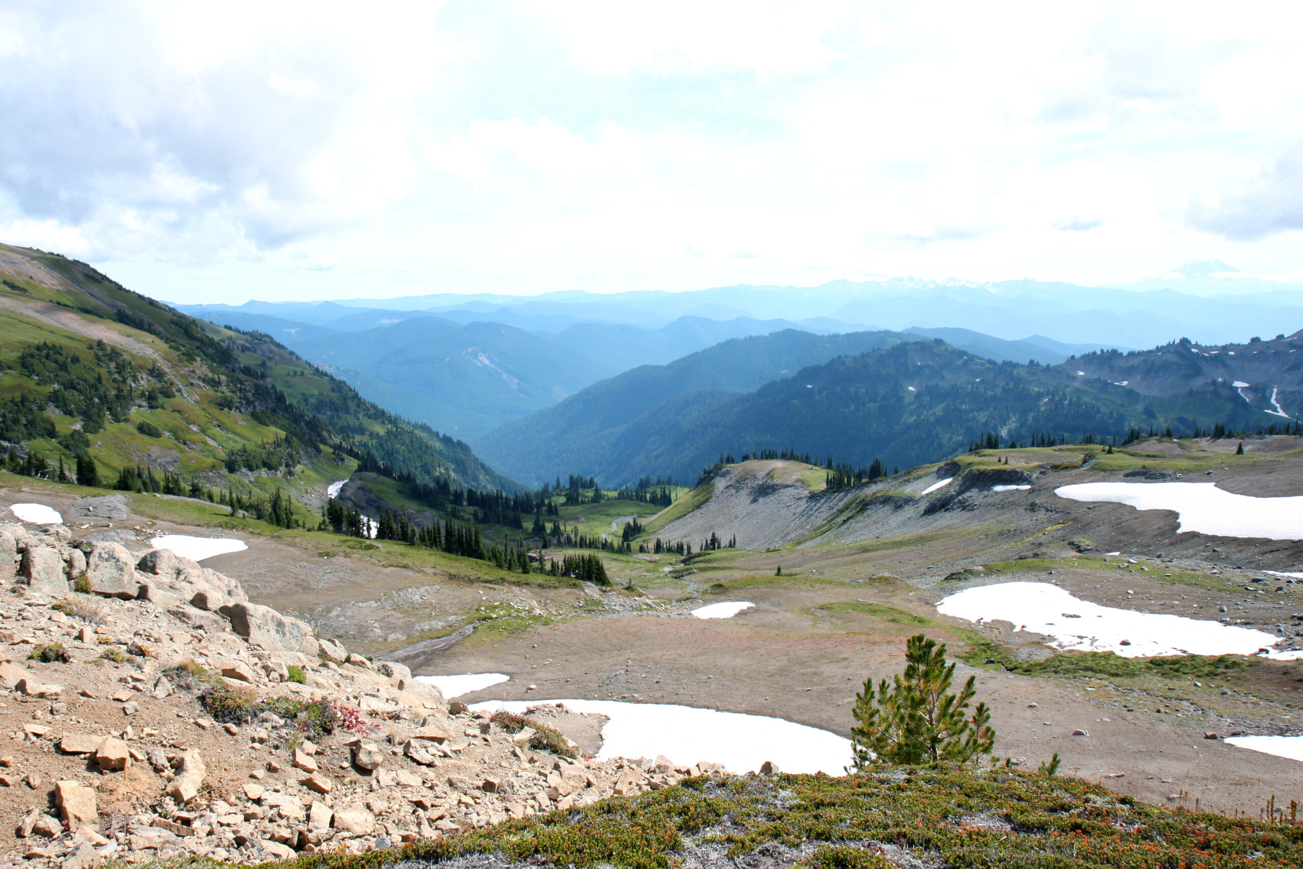
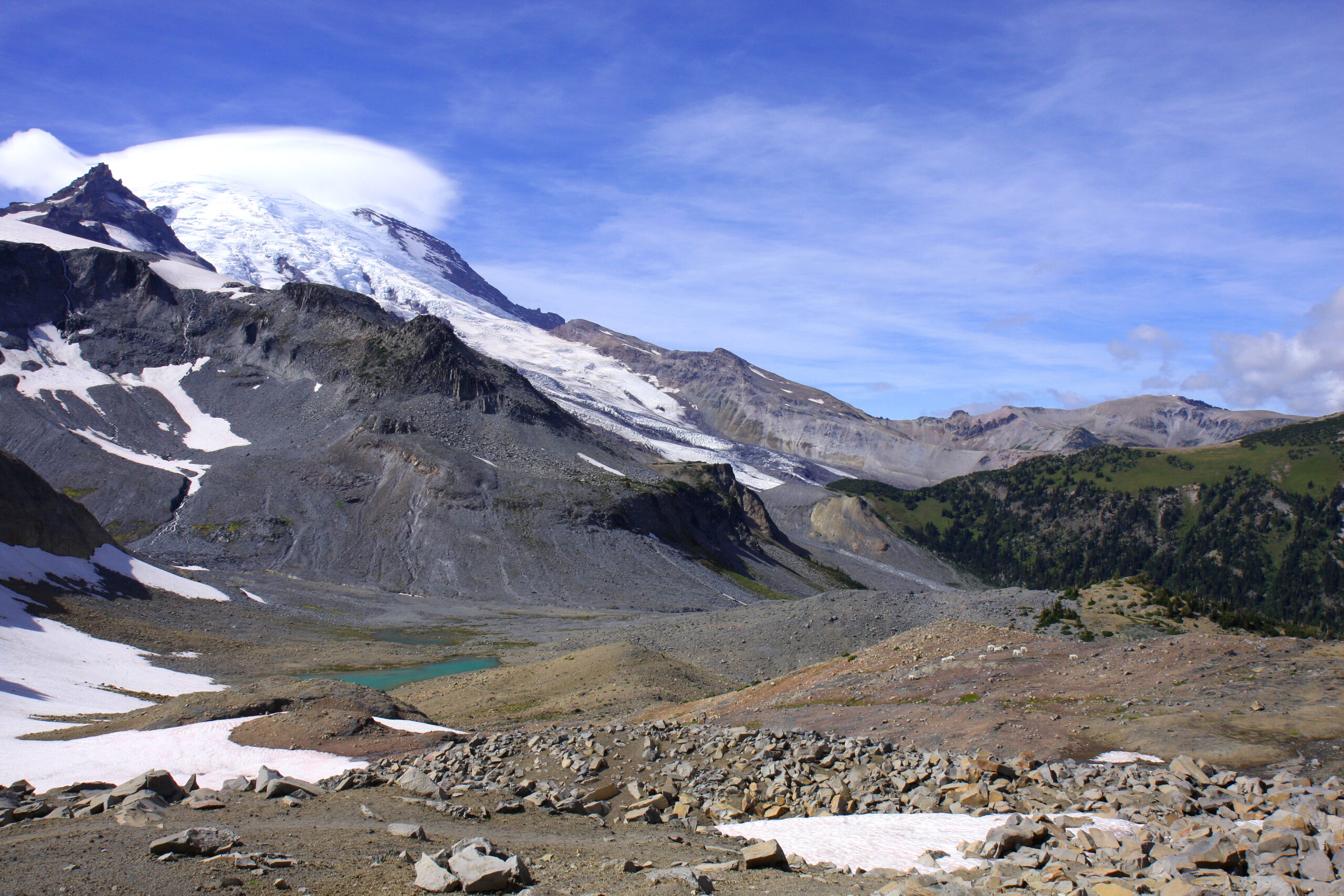
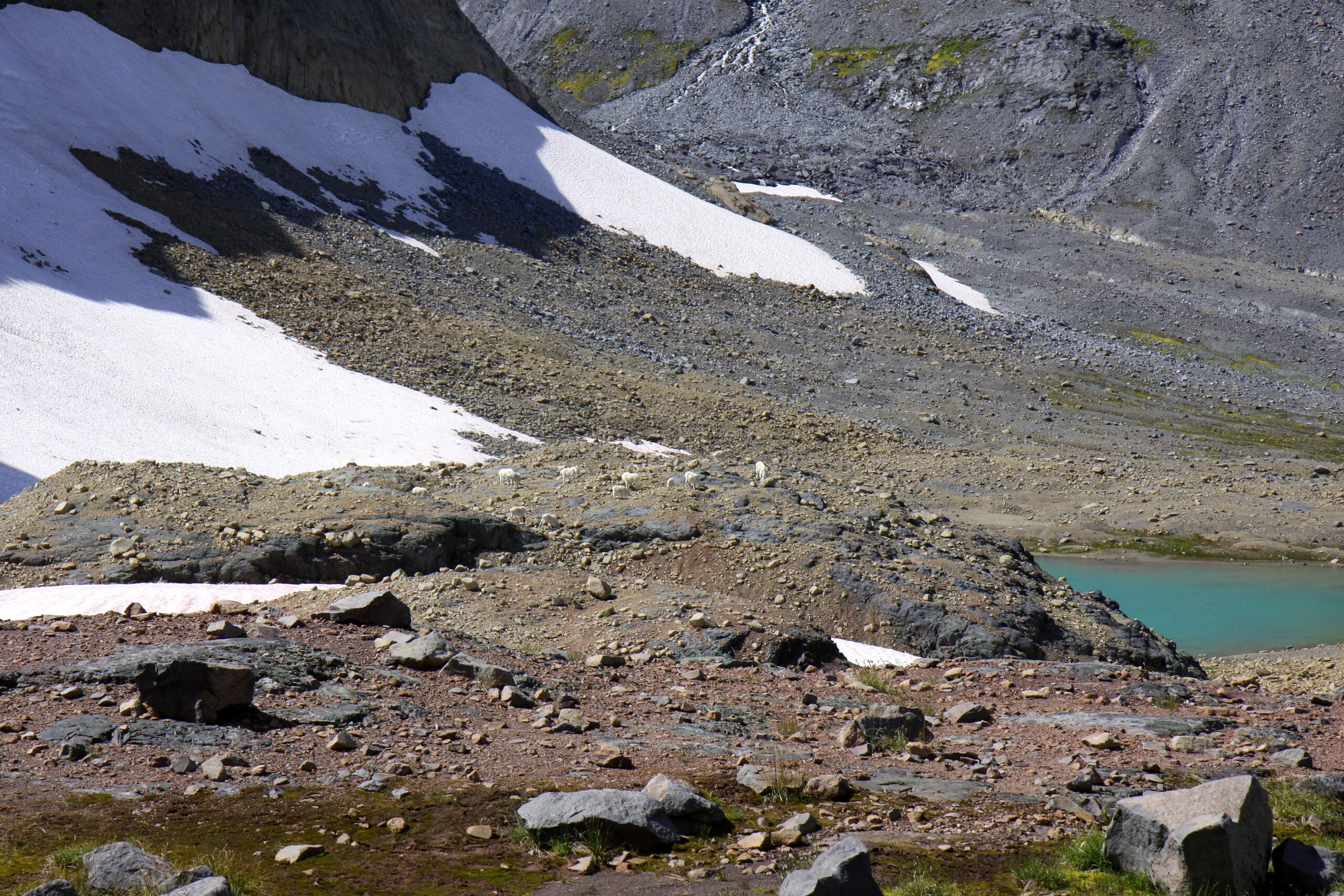
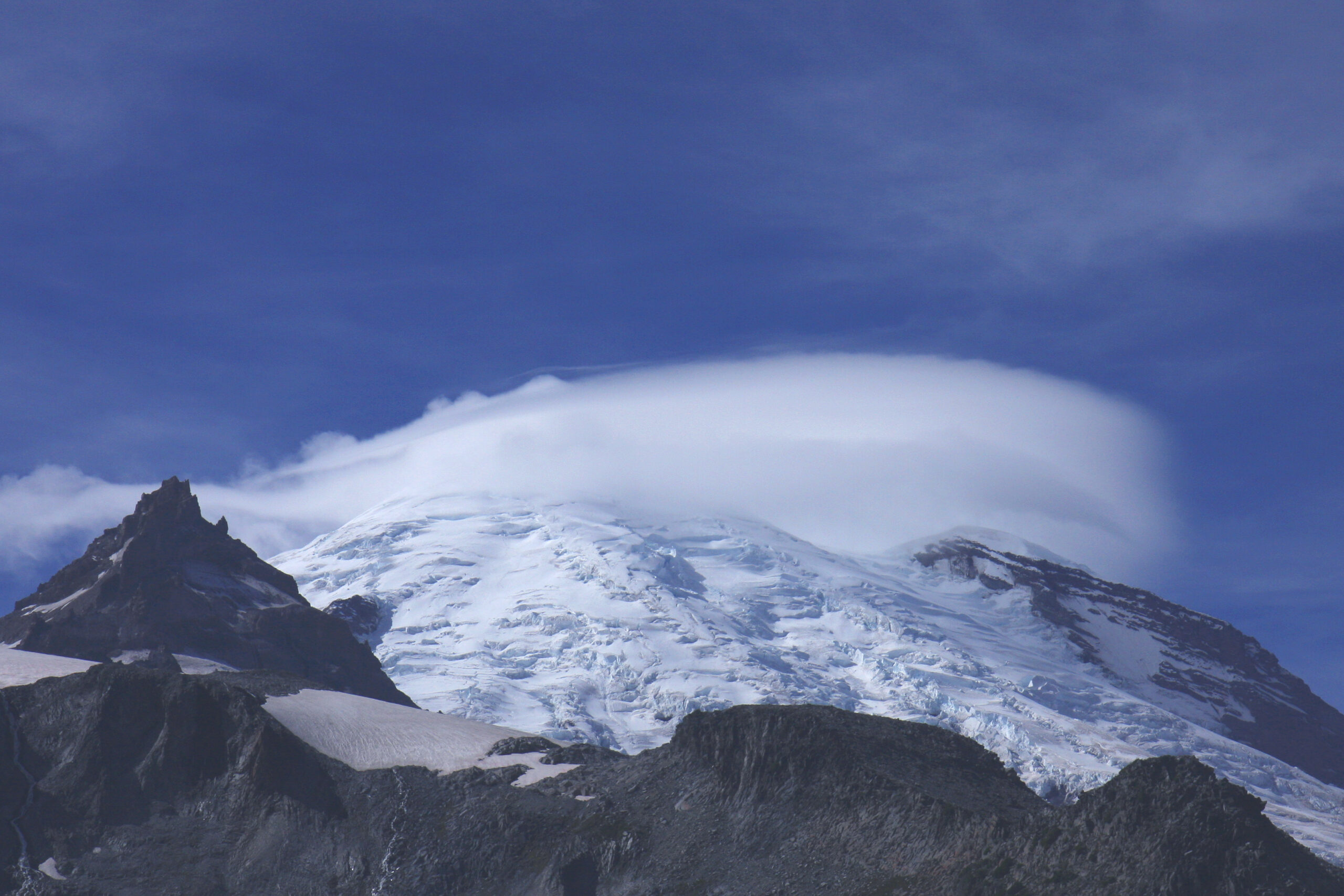
One of Rainier’s classic hikes transcending the forest, subalpine and alpine zones reaching the highest elevation of the 94 mile Wonderland Trail at Panhandle Gap, 6,800′. The barren alpine landscape approaching the gap presents a stark contrast to the lush subalpine meadows in the vicinity of the campground. The distance is approximately 10.5 miles round trip with approximately 3,000′ of net elevation gain.
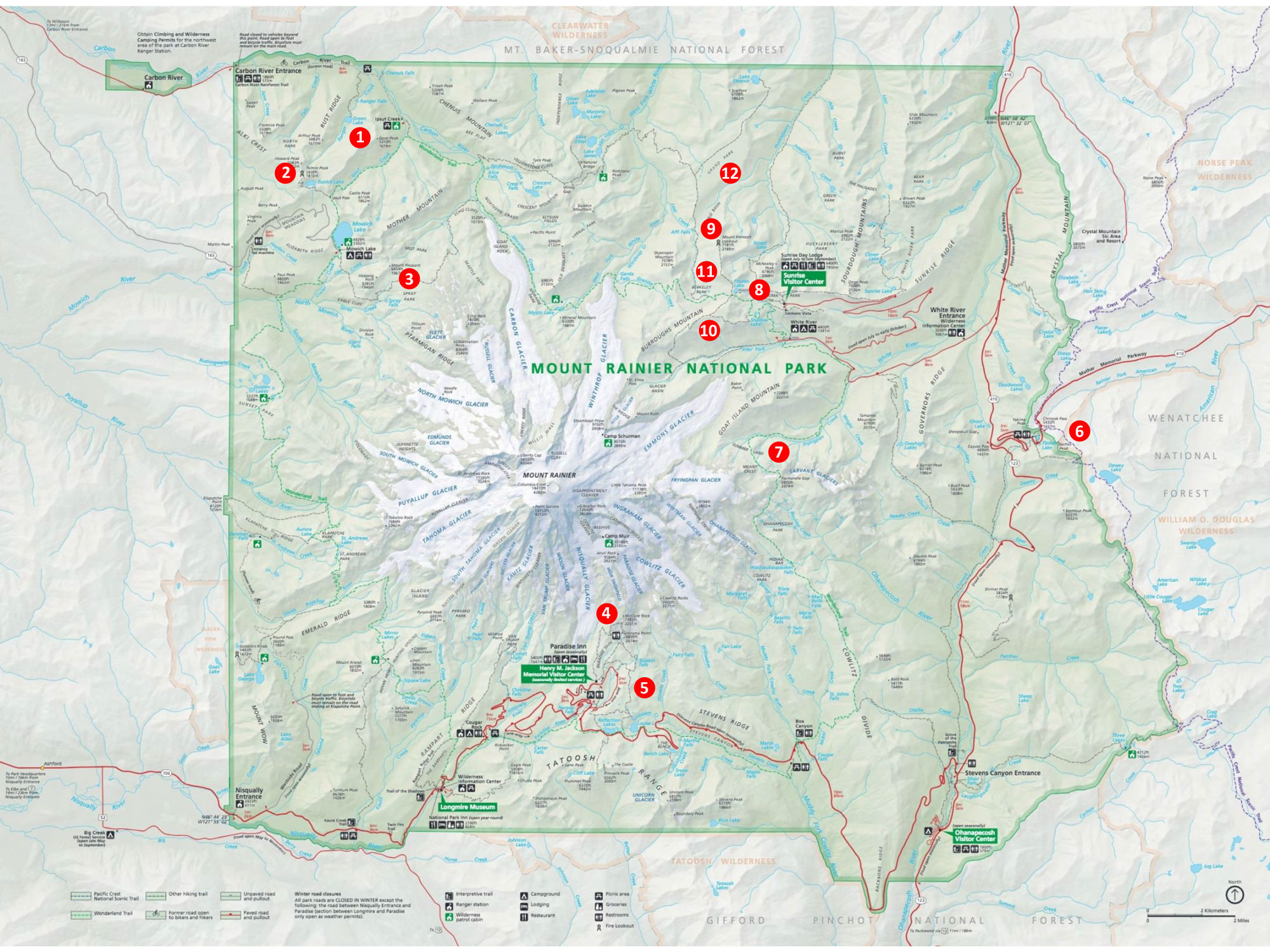
Starting point: White River
Area map number: 8
The trailhead is 3.0 miles on the Sunrise Road from the White River entrance (ranger station and wilderness information center). The parking area is immediately after the road crosses Fryingpan Creek. Parking is limited and since this is a popular hike for backbackers it may already be occupied with a number of vehicles. The remaining area fills up quickly, particularly on the weekends, and the Park Service discourages parking along the road.
As always, check conditions before setting out.
Get more important wildflower hiking information
Read about being prepared for Mount Rainier Hiking
Slideshow
Click on the first image to begin the slideshow.
Share this hike:
Facebook
LinkedIn
Pinterest
X
Email