Wildflower hikes
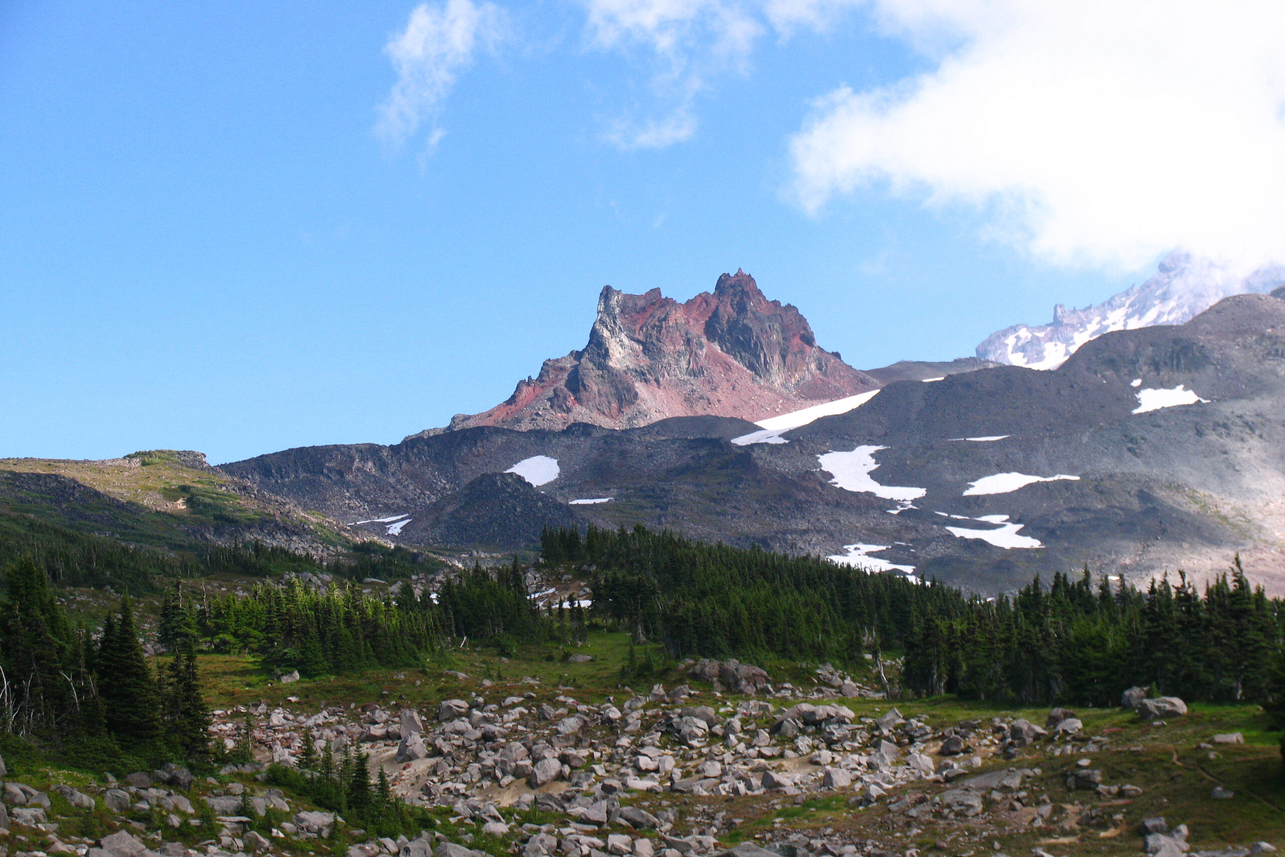
Spray Park
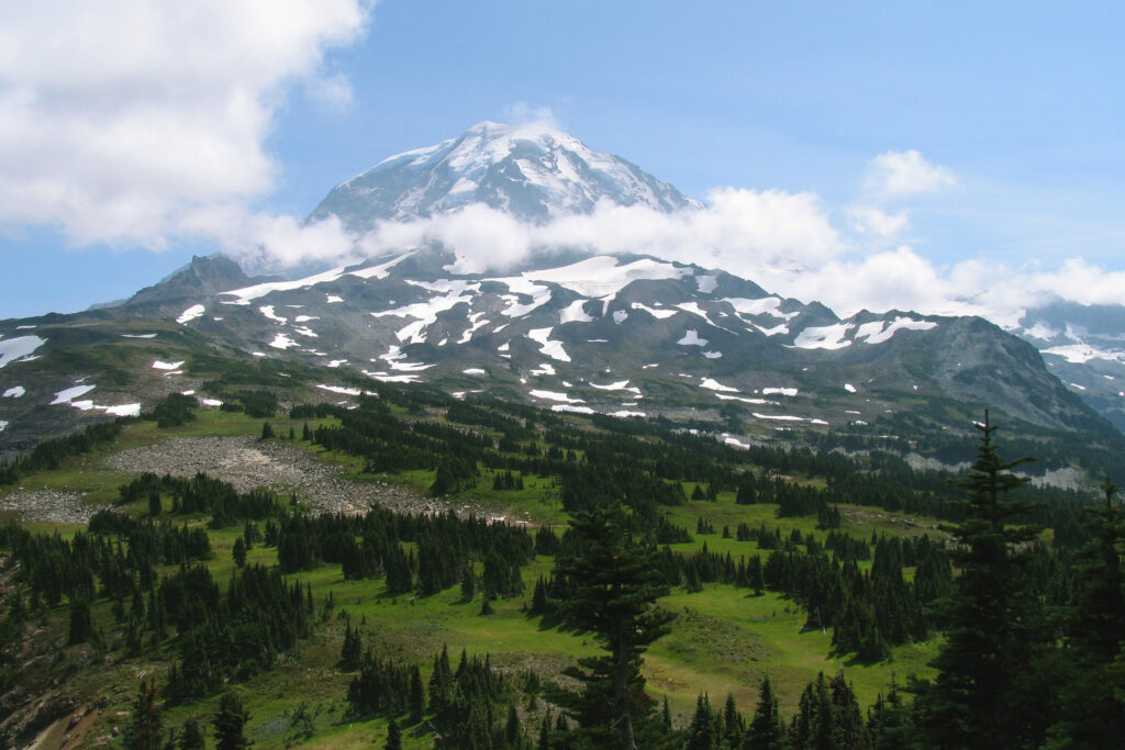
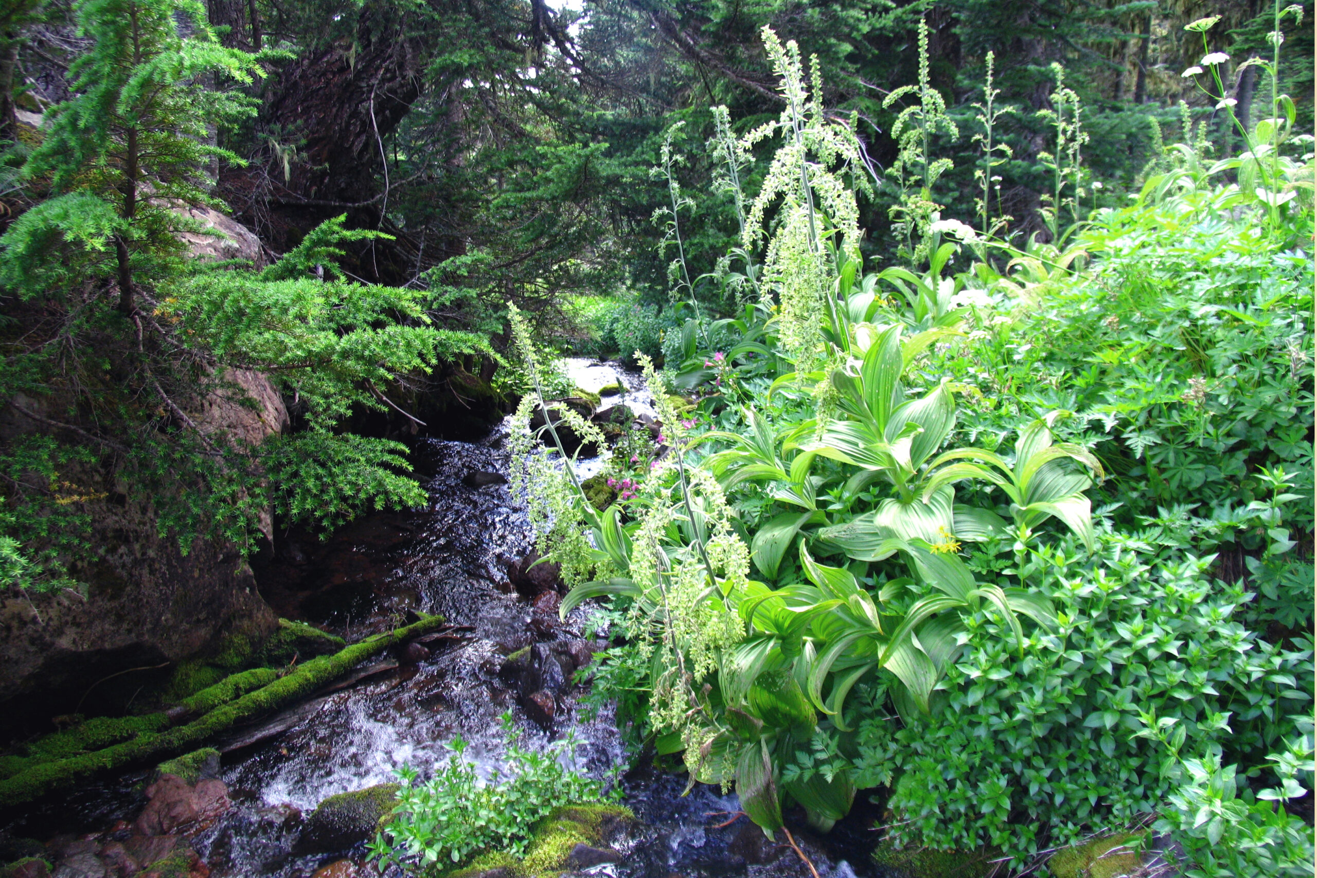
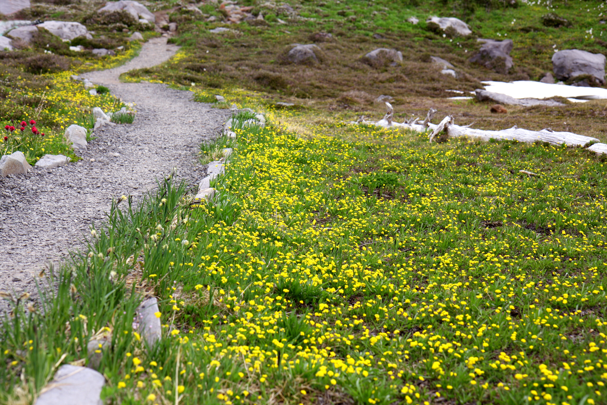
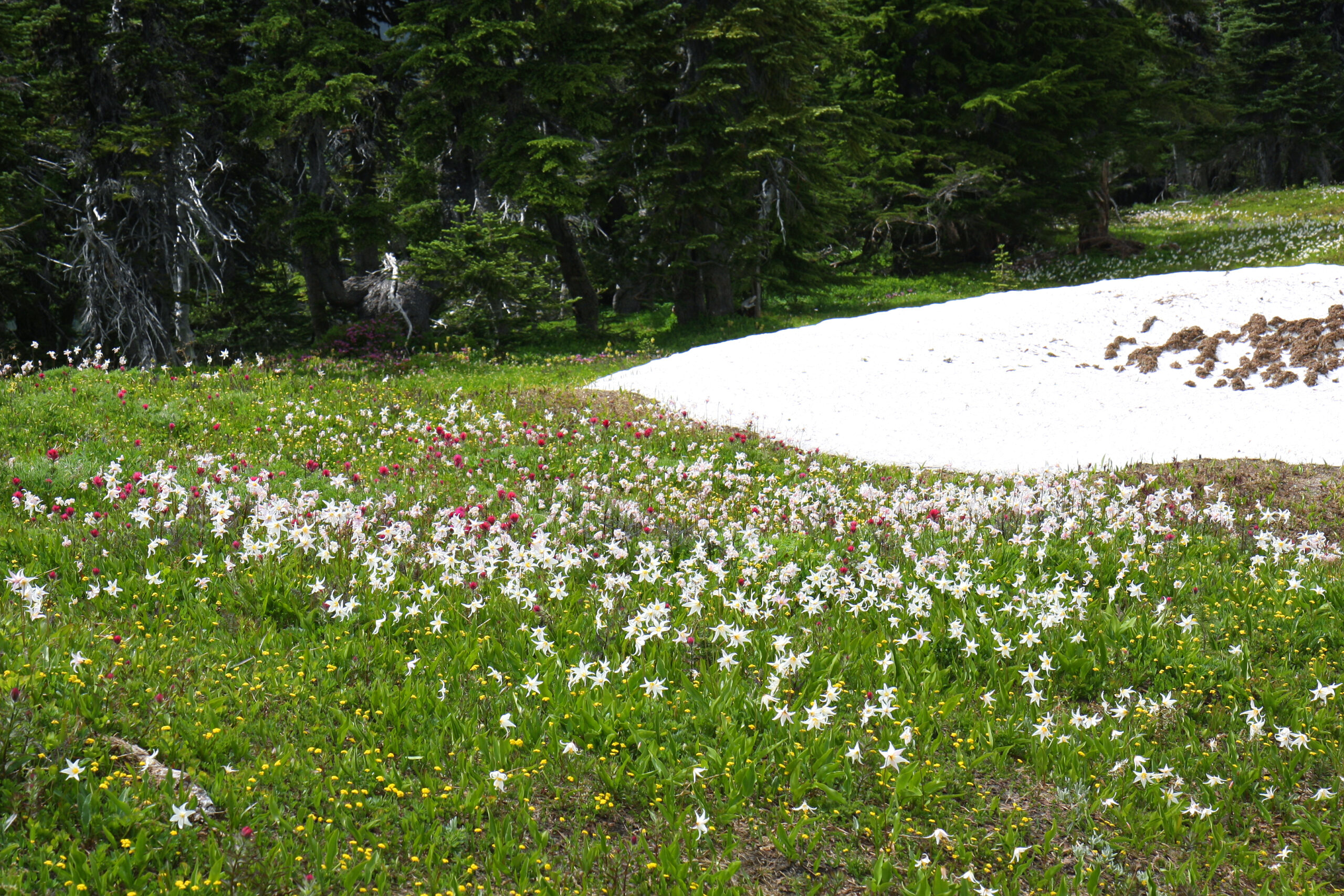
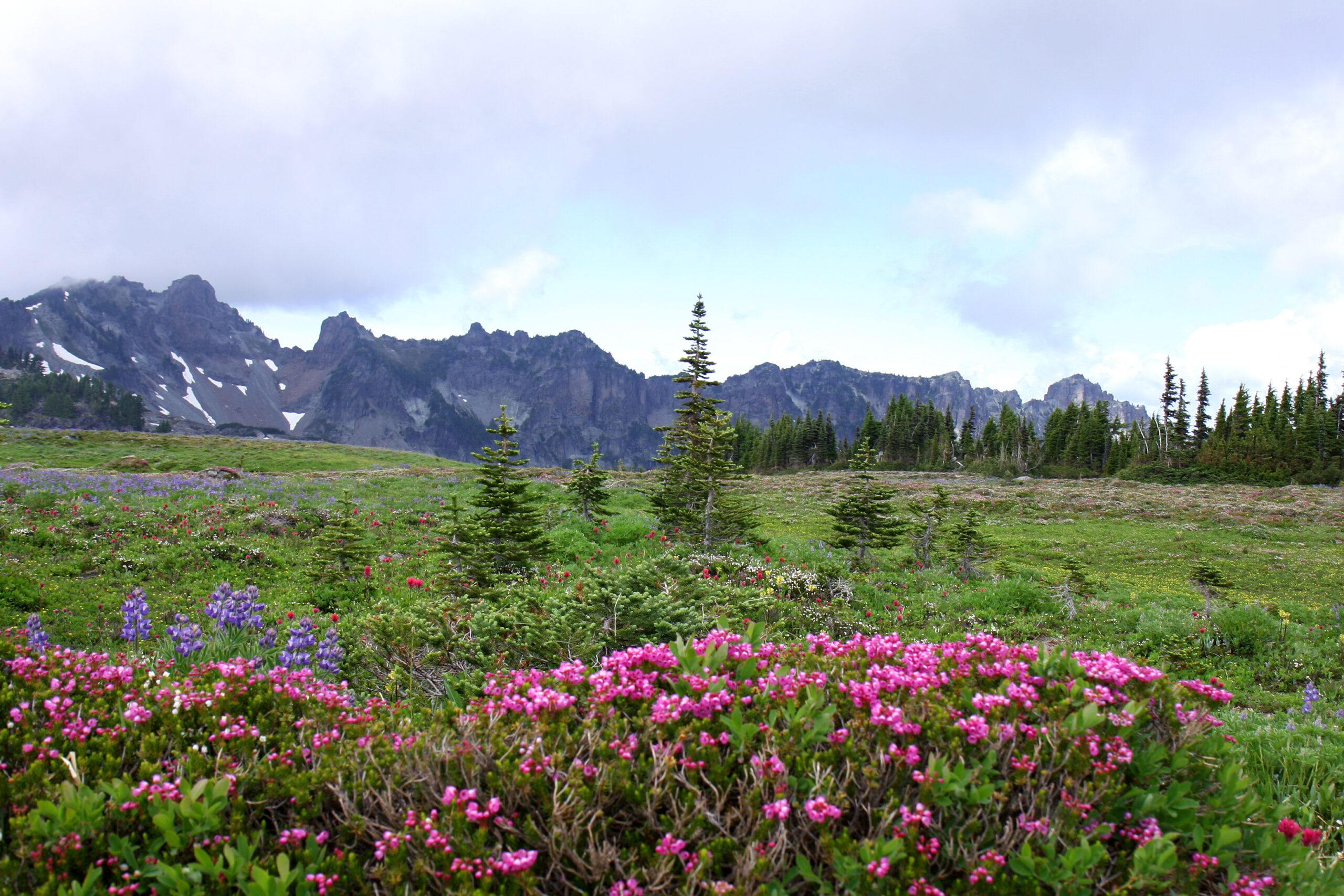
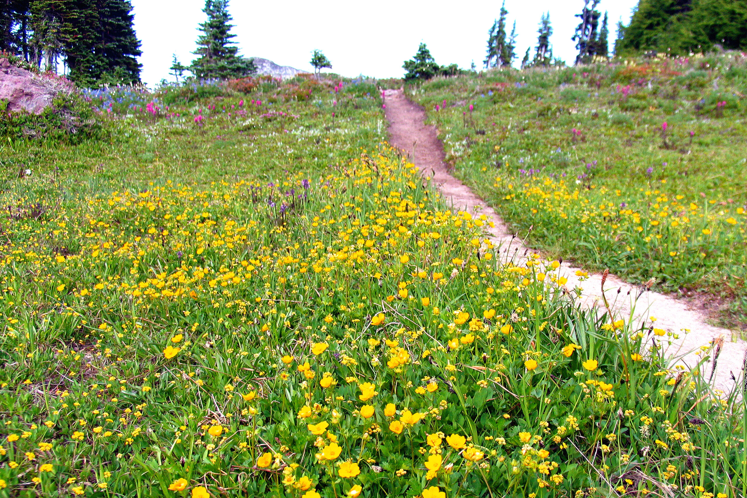
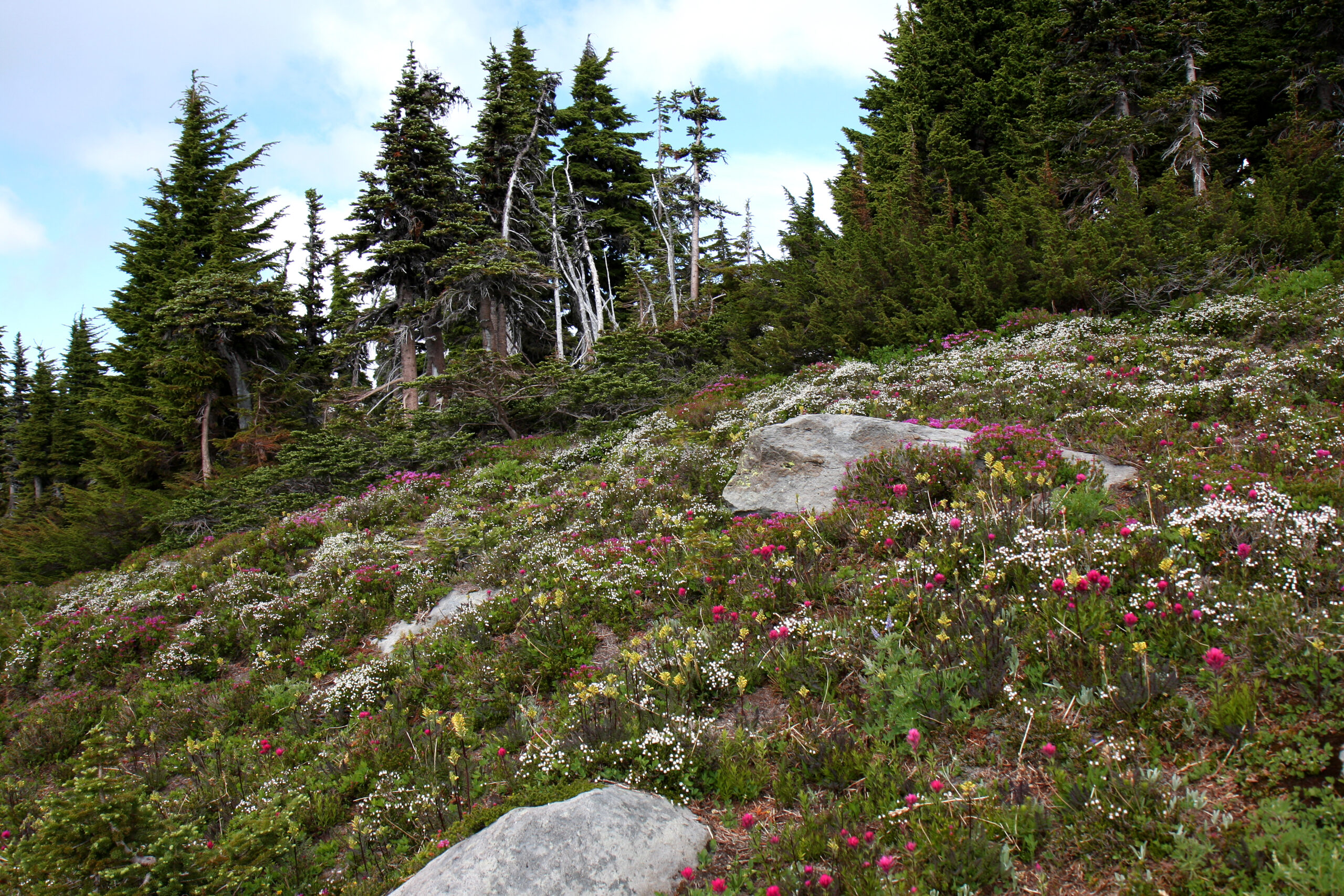
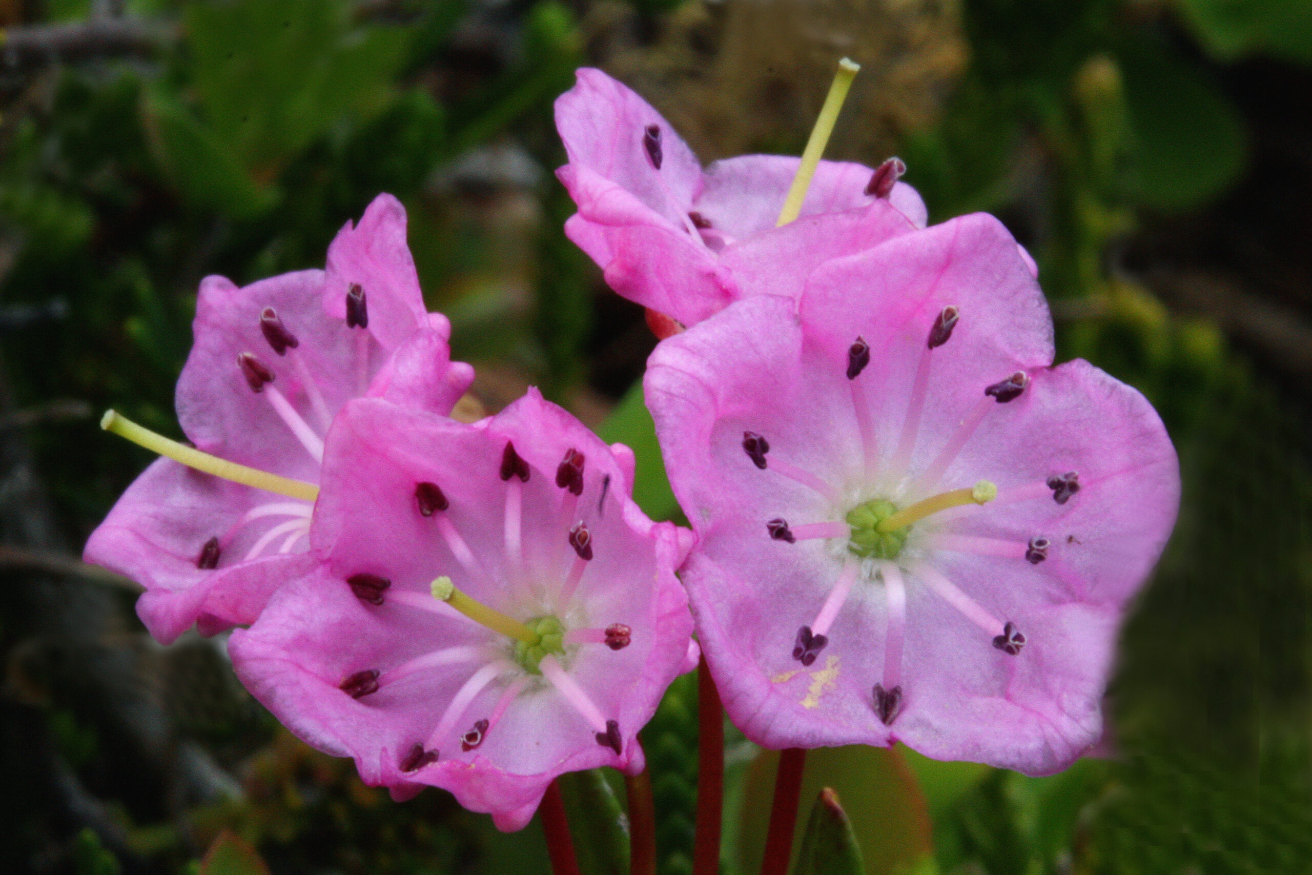
Experience one of the supreme subalpine landscapes in the park. The splendid flower fields are reached after a somewhat strenuous hike through a fully canopied forest with up and down terrain including a series of switchbacks. But worth the effort for most! Total distance round trip is 7.5 miles with net elevation round trip of over 2,700′.
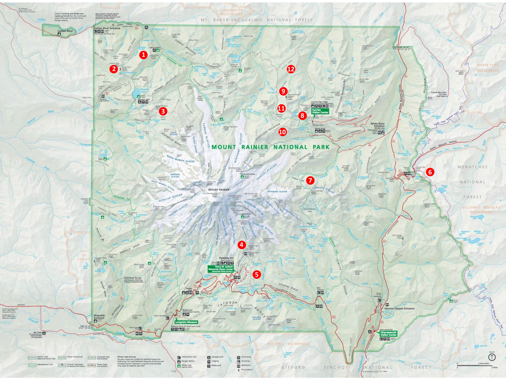
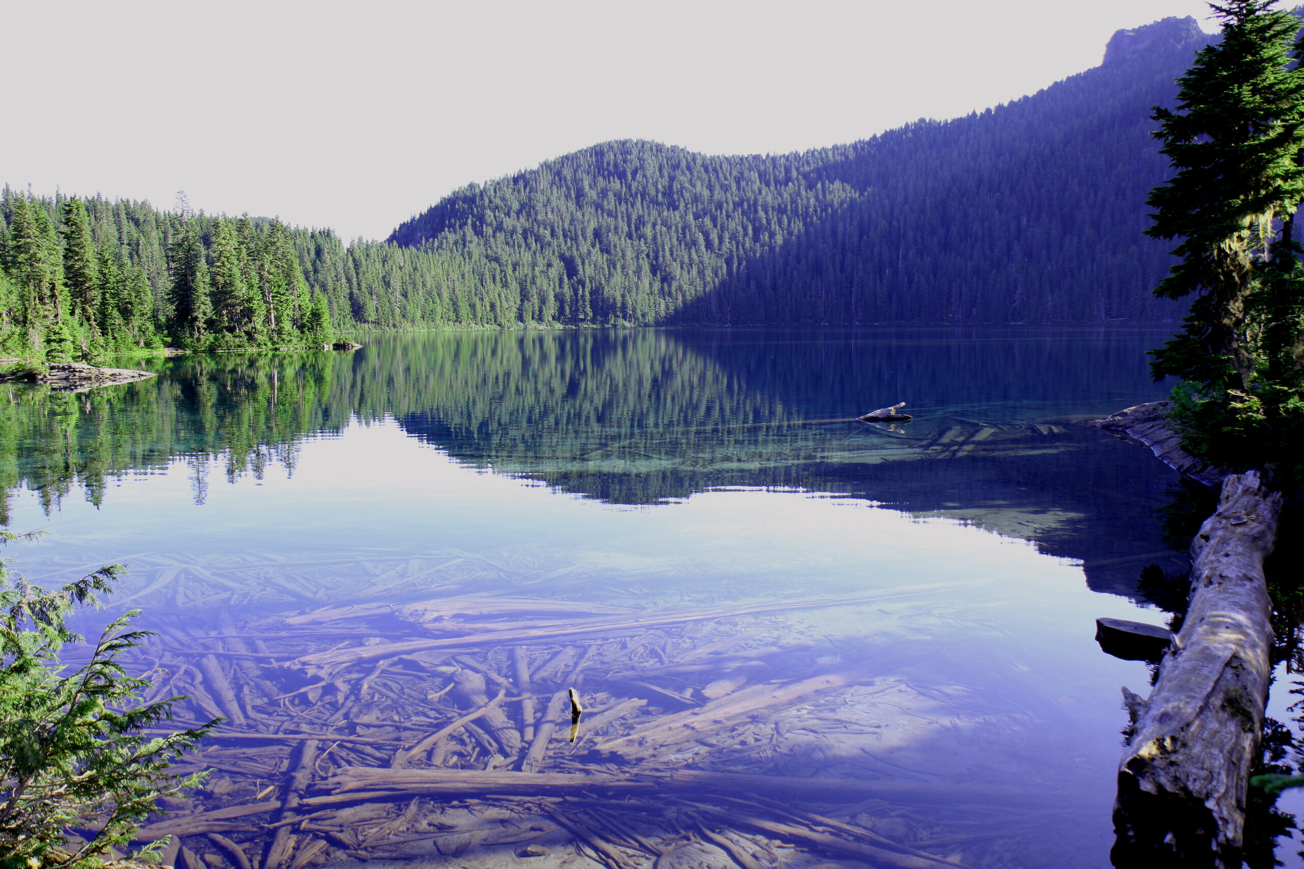
Starting point: Mowich Lake
Area map number: 3
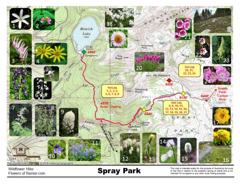
Important! There is no longer any vehicular access to the trailhead due to the permanent closure of the SR165/Fairfax Bridge (see https://www.nps.gov/mora/planyourvisit/carbon-river-and-mowich.htm). Access is only available via the Wonderland Trail.
Old note: Every year thousands of visitors endure the 17 mile potholed, gravel washboard Mowich Lake Road; many just to see the largest lake in the park. The road begins after crossing the one lane bridge over the Carbon River (approximately 9 miles from Wilkeson on SR 165). Arriving early is essential to park in the lot near the campground. The trailhead is on the south side of the campground and is well marked. This area of the park receives heavy snowfall and often the road does not open until very late in the season. Don’t be disappointed and . . .
As always, check conditions before setting out.
Get more important wildflower hiking information
Read about being prepared for Mount Rainier Hiking
Slideshow
Click on the first image to begin the slideshow.
Share this hike:
Facebook
LinkedIn
Pinterest
X
Email