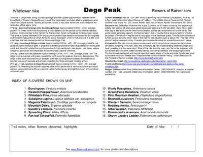
Wildflower hikes
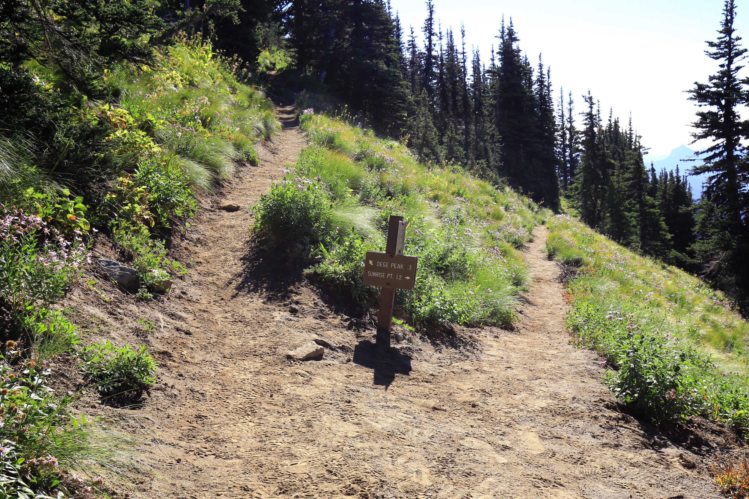
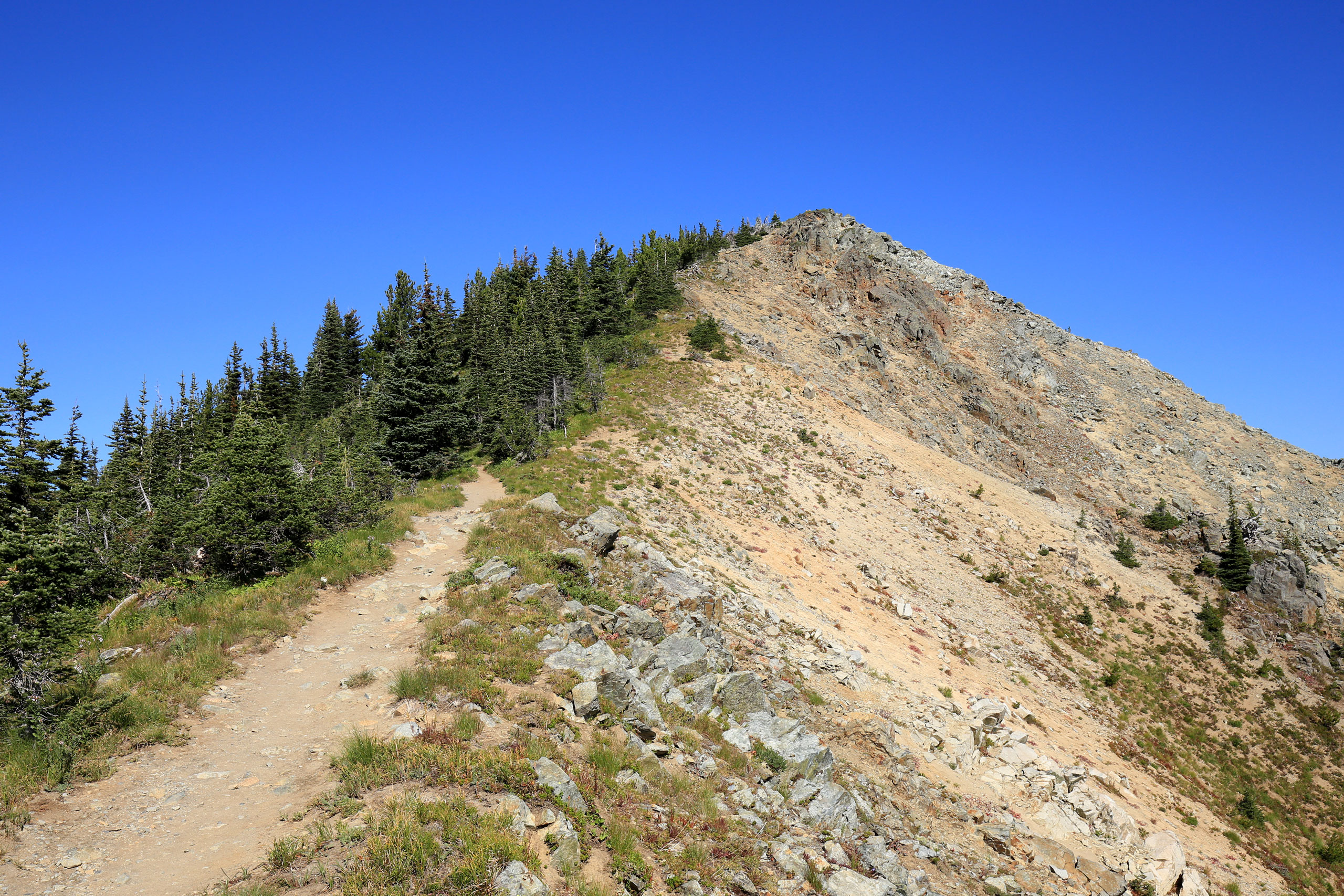
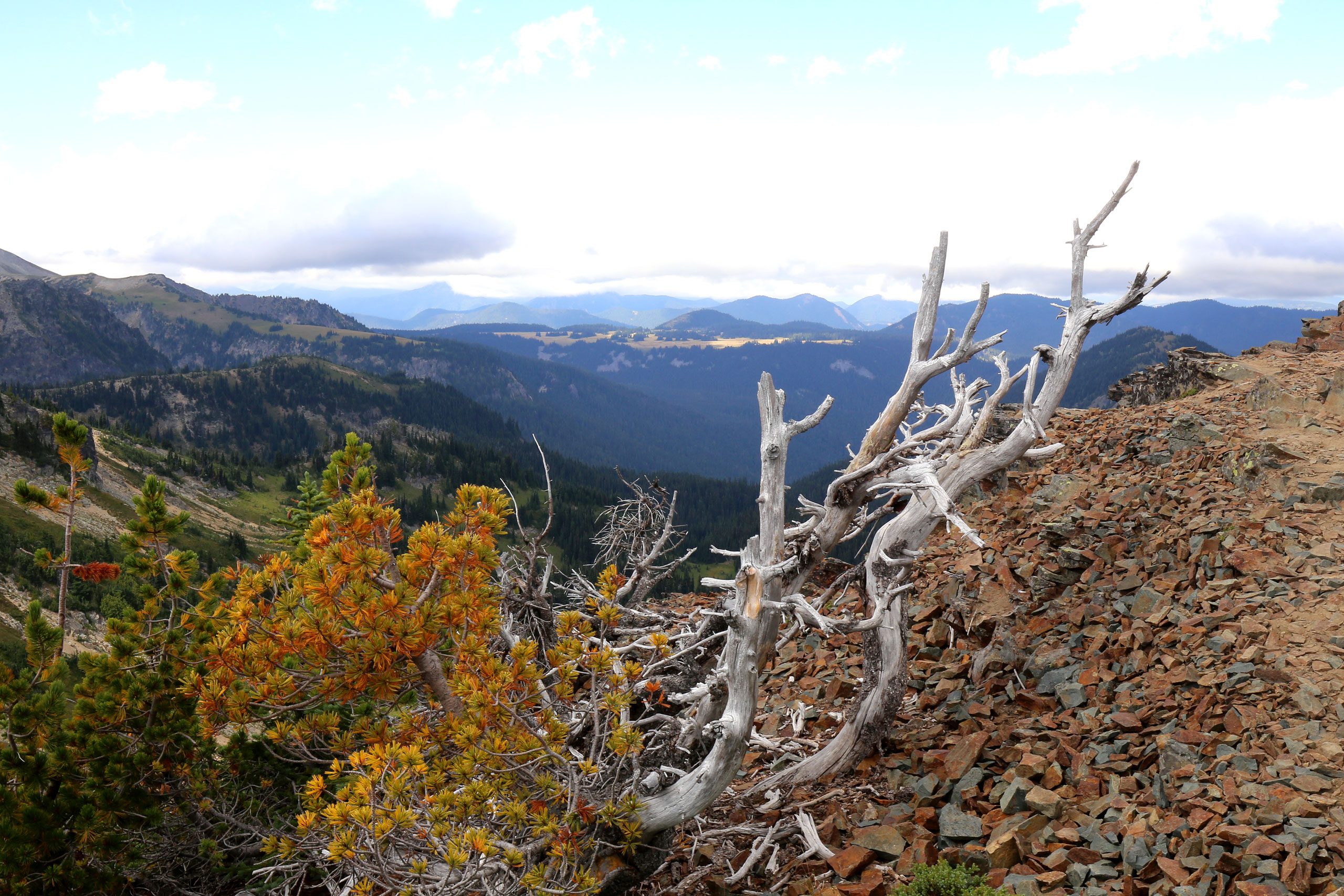
Dege Peak

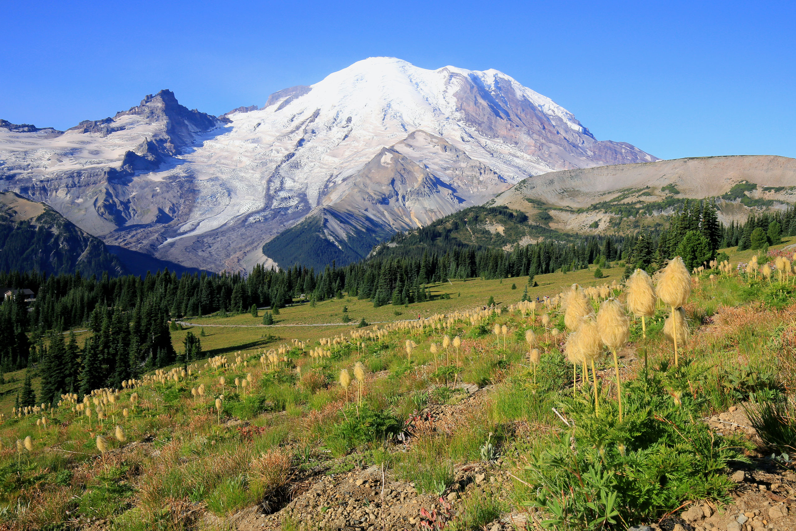
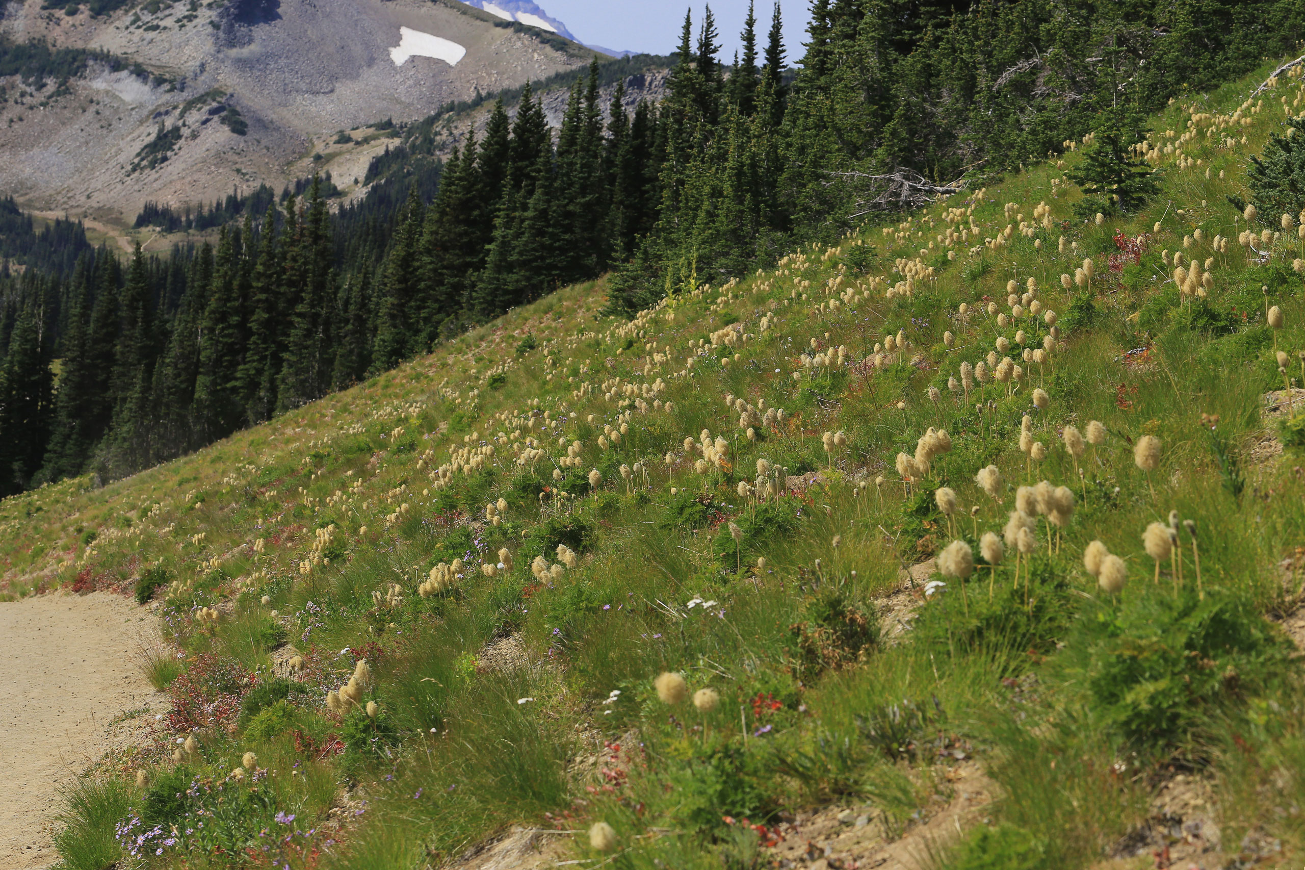
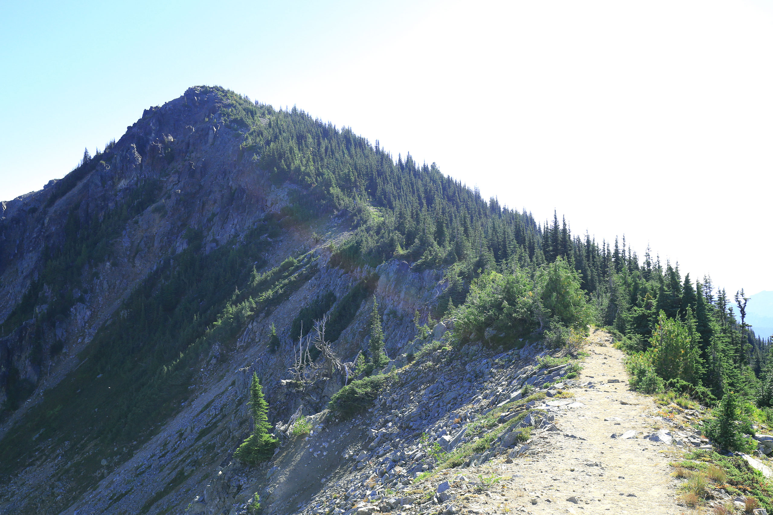
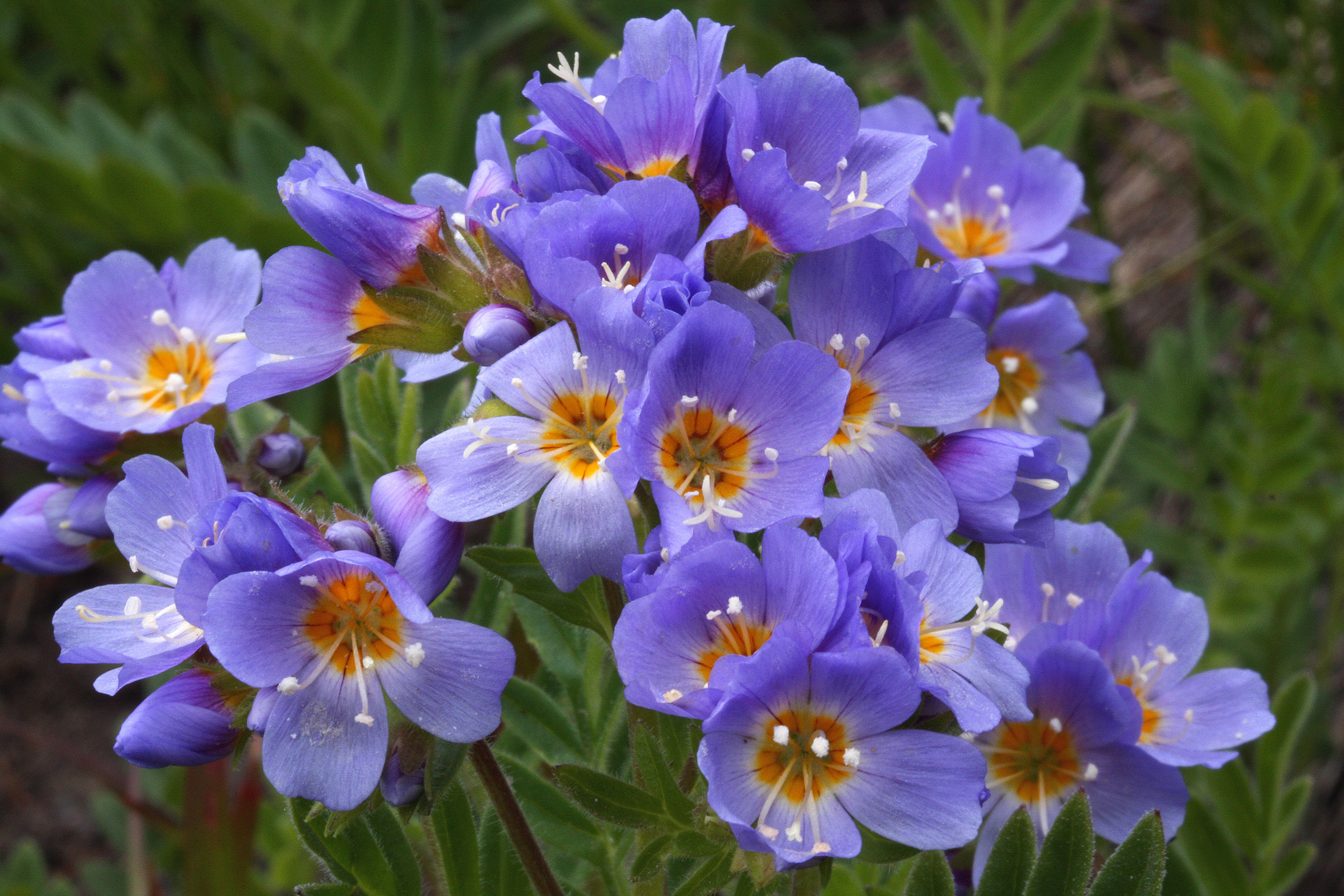
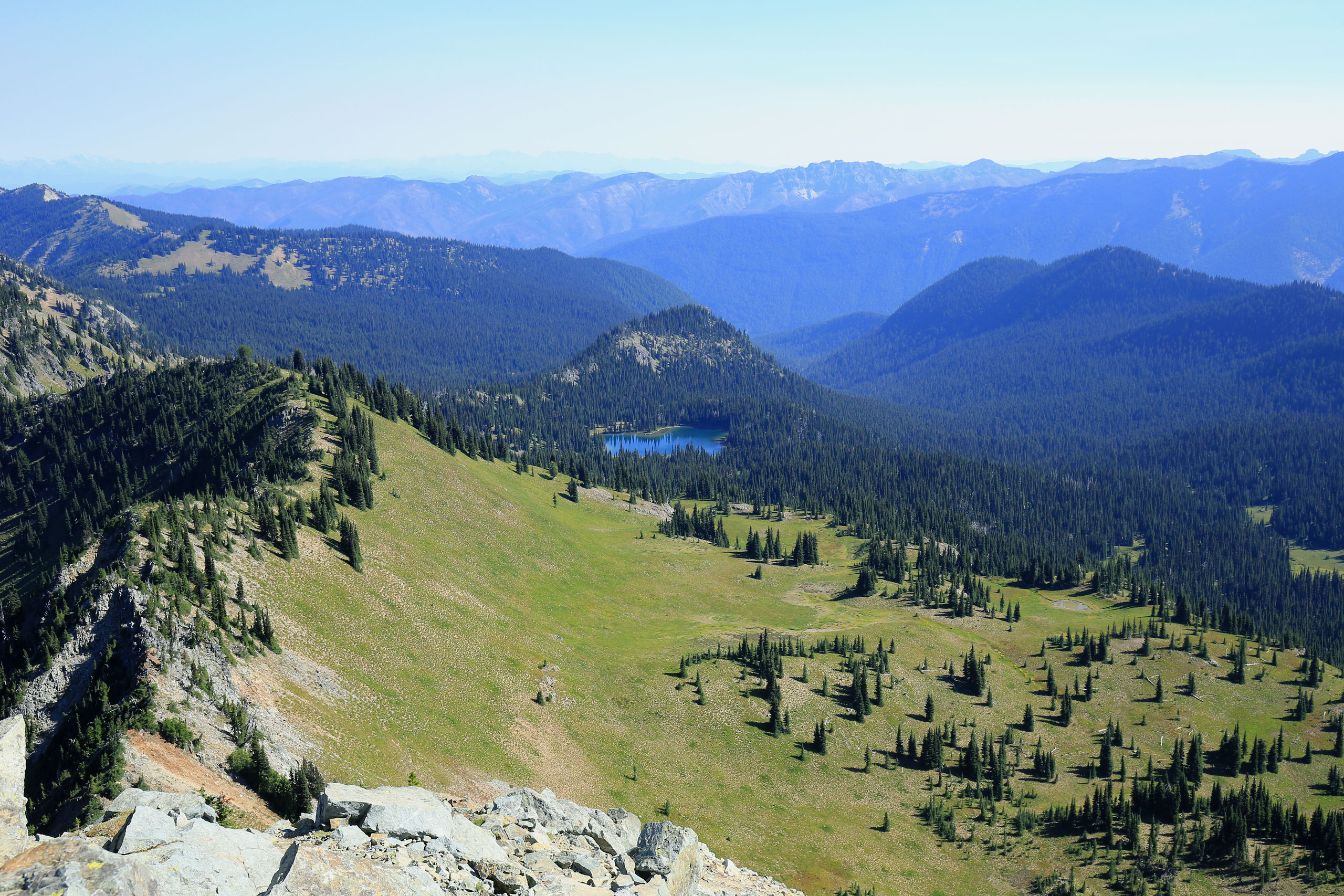
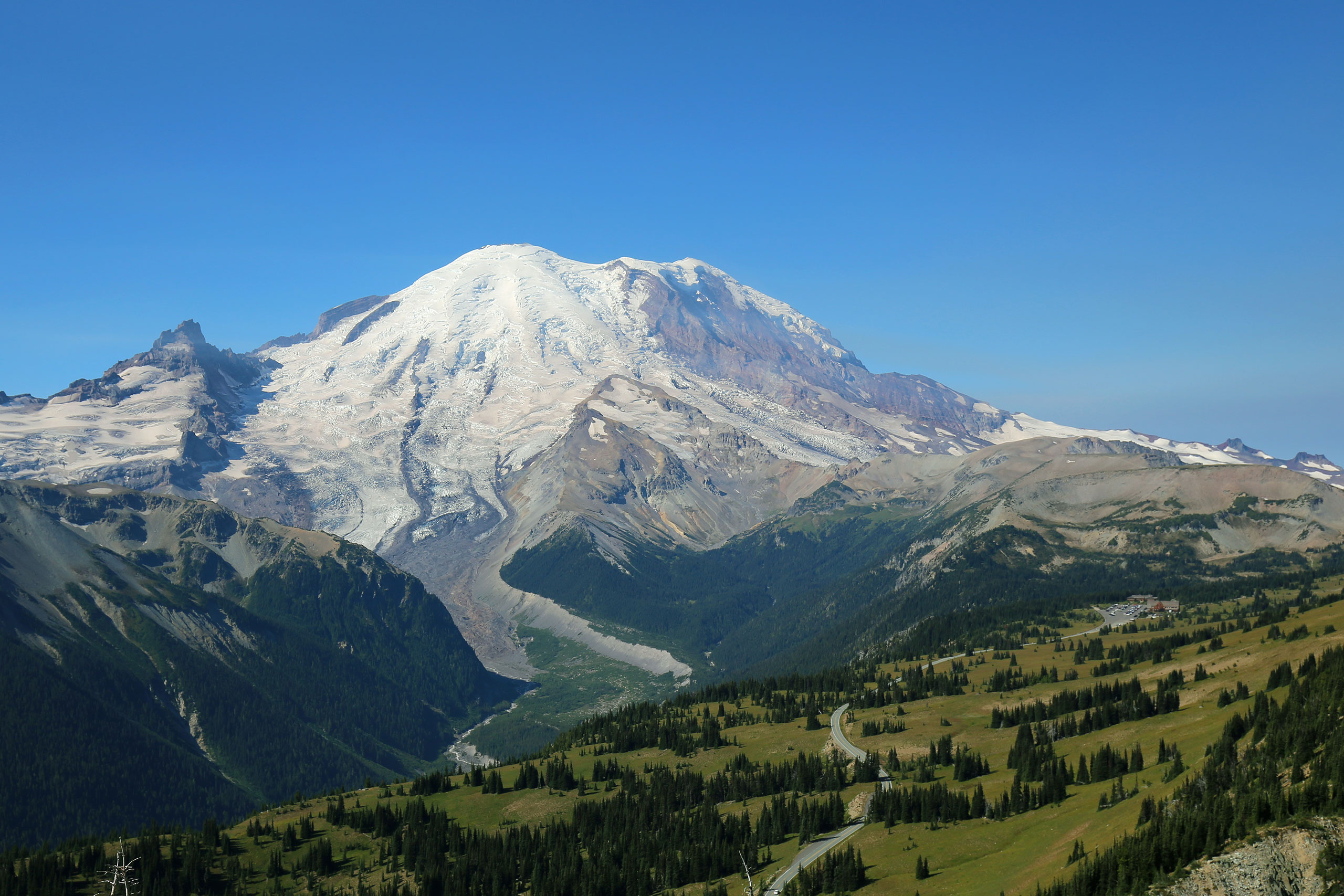
Here’s a chance to traverse the best ‘mophead’ (Western Pasqueflower in seed) field in the park and bag a peak on the same hike. After a fairly easy stroll along Sourdough Ridge the short ascent to the summit is just strenuous enough to provide a sense of achievement. Great views all around and quite possibly one of the best of the mountain. Total distance is approximately 4.0 miles RT with a little more than 700’ of net elevation gain.
Starting point: Sunrise
Area map number: 9
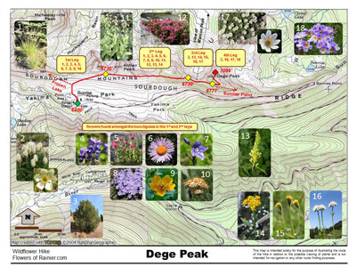
The trailhead is found on the north side of the Sunrise parking area, approximately 15.5 miles from the White River entrance off of SR 410. Seasonal closure of Sunrise Road is at the White River campground entrance, approximately 5.5 miles from SR 410. Often it is not open until July. The parking lot is large but overflows are common and occasionally they will close it. Try to avoid weekends. Arrive early when the lot is nearly empty and then return from your hike in the afternoon and wonder “where did everyone come from!” As always, check conditions before setting out!
Get more important wildflower hiking information
Read about being prepared for Mount Rainier Hiking
Slideshow
Click on the first image to begin the slideshow.
Share this hike:
Facebook
LinkedIn
Pinterest
X
Email